.
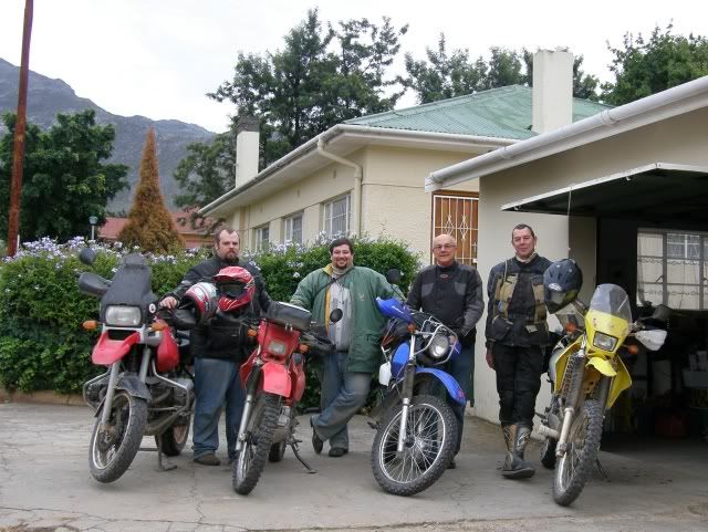
Day 1Barely 2 days after we returned from the Baviaans trip we were on our way again. This time to take the coastal route along the Whale Coast to the Southernmost tip of Africa and do some exploring of the Overberg area in between.
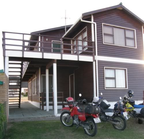
Rooipoot offered some accommodation for us at Witsand for the first night and so the plan was
set in motion. He didn’t want to miss any of the trip though so he decided to shoot through to George (400km on his trusty DR200) the day before.
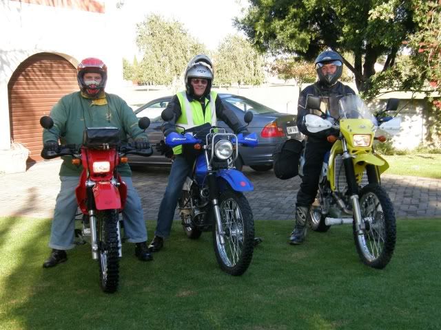
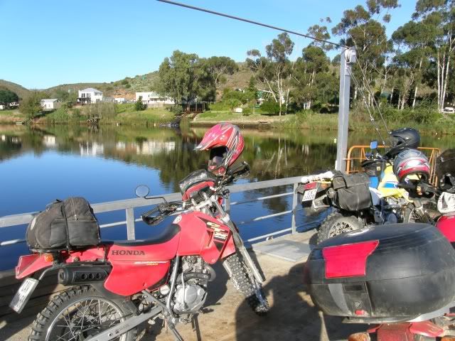
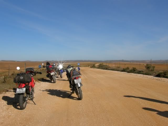
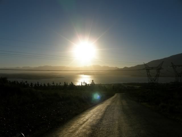
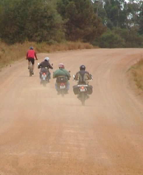
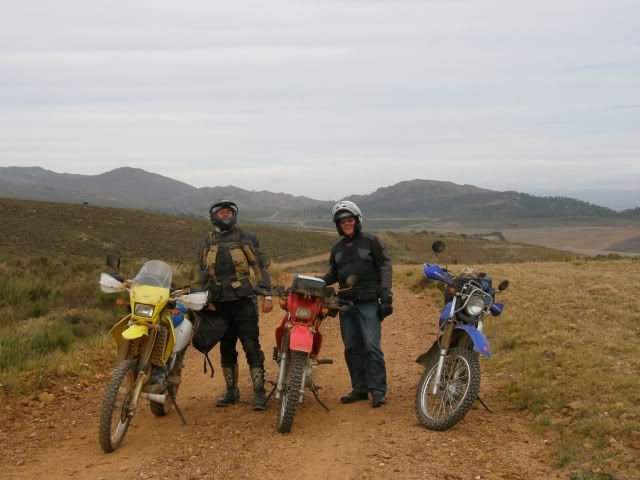
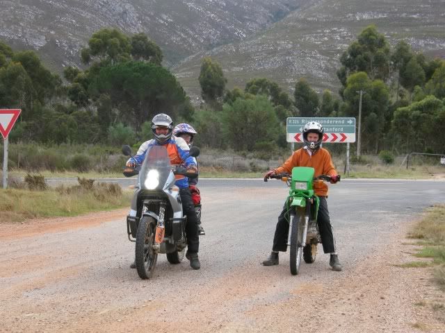
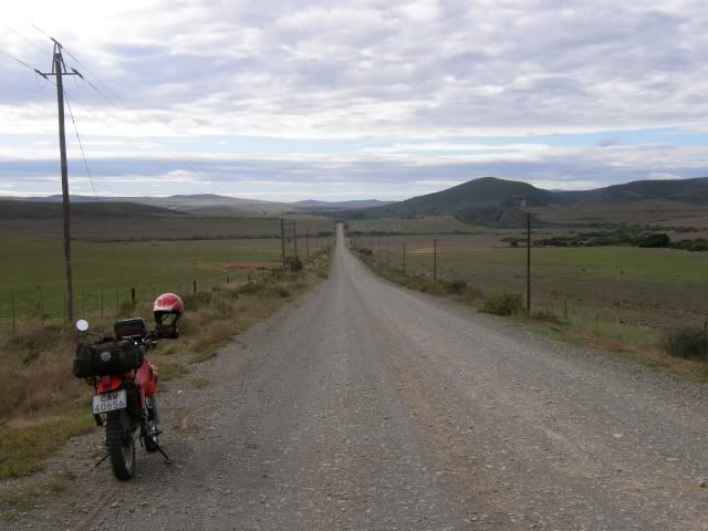
Early on Day 1 we were ready to roll!

The plan was to take 4 days and see as much as we can see. The only requirements I had of this trip was to cross the Breede river on the Pontoon at Malgas and to photograph my bike at the Southernmost tip of Africa.
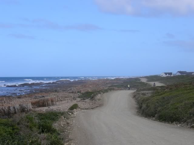
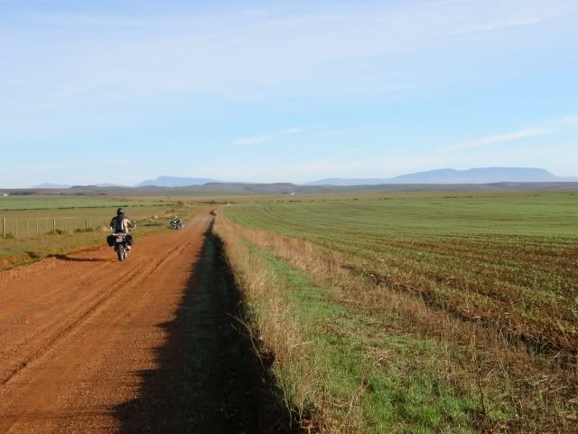
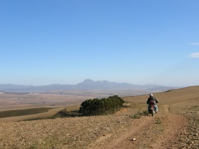
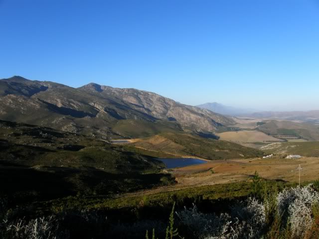
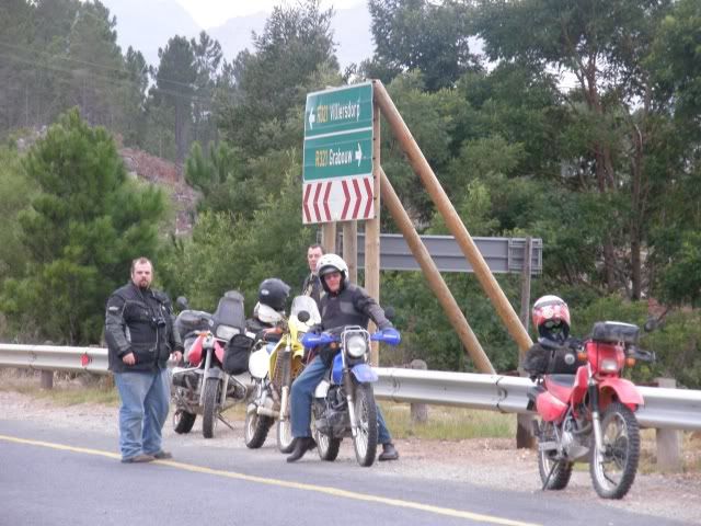
Today we decided to hug the coast taking as much gravel as is possible. This would take us all the way to Witsand and our accommodation for the first night.
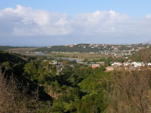
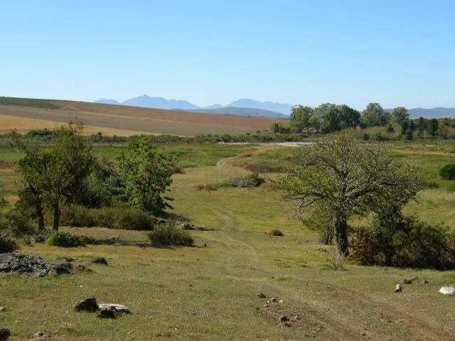
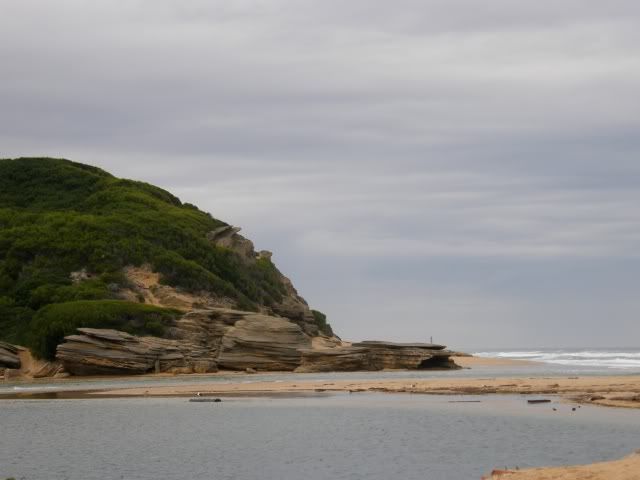
We took the gravel road from George to Groot Brak and from this little gravel pass we saw the Indian Ocean and the first of many river mouths.
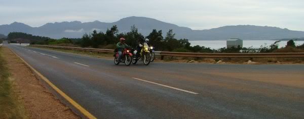
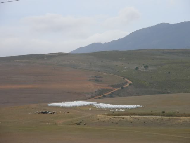
When I take my bike I usually head for the mountains. Taking a coastal route was a nice change and who knew there were so many unexplored roads here? Wow. We rode past Reebok, Tergniet, Mosselbay, and took the Boggomsbay / Vleesbay road to get to the gravel a.s.a.p. This took us all the way to Cape Vacca.
I have lived less than 100km from here most of my life and I have never heard of this place. Sure is beautiful. It’s a conservation area and is being preserved for the generations to come. No Golf Estate development here

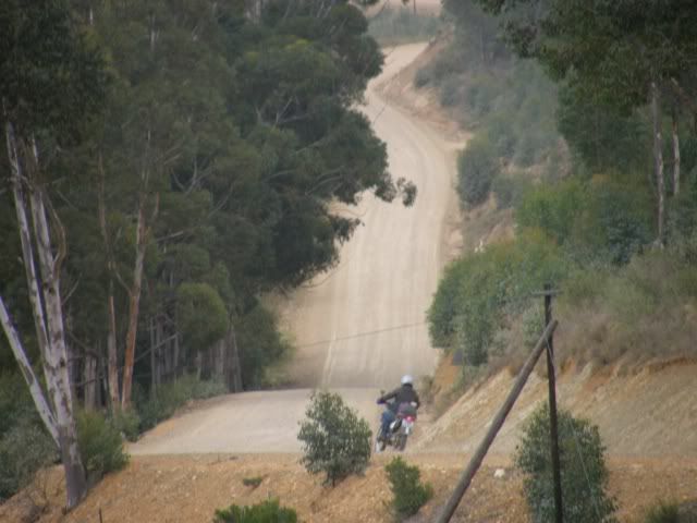
The road meanders along the coast through the “Sandveld” and across the many rivers running into the sea. The bridge across Gouritz:

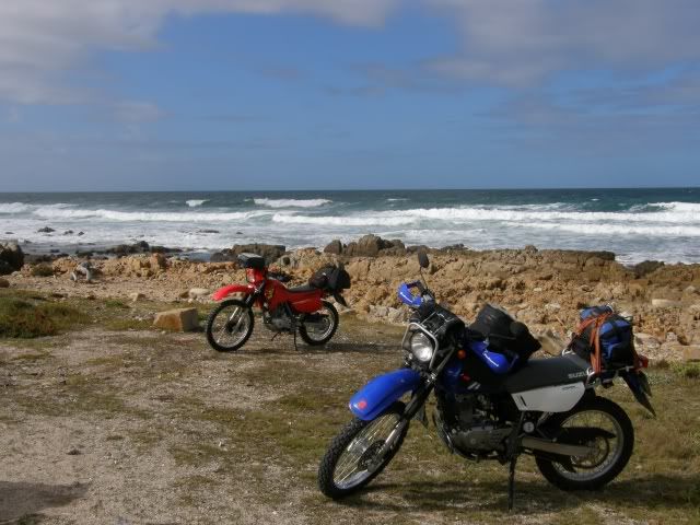
And a snack stop next to the Indian Ocean.
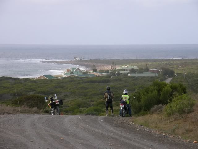
Who knew you could take gravel roads so close to the Ocean? There’s not much traffic either. It’s a leisurely ride along the coast with great scenery and the smell of the sea.
We had to stop at a closed gate at the Reins Nature Reserve and backtrack a little bit for a slight detour. This was just the first of many mistakes we picked up on the
Slingsby Garden Route map. We could see the Ystervarkpunt Lighthouse though.
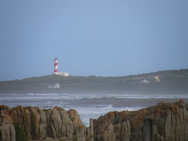
This lighthouse was commissioned on 4th August 1964 and was originally a lattice tower. This new lighthouse was recently constructed. 2006. Active; focal plane approx. 65 m (213 ft); white flash every 10 s. Approx. 39 m (121 ft) round cylindrical concrete tower, painted with red and white spiral bands. This lighthouse is situated on a promontory about 80 km (50 mi) southwest of Mossel Bay near the mouth of the Gouritz River between Mossel Bay and Cape Agulhas. Originally a 21 metre aluminium tower, now a concrete structure of the same height and painted in striking candy stripes of red and white. This lighthouse is not open to the public but visible from the road within the Reins Nature Reserve. The tower supports a fully automatic electric light system with a range of 24 nautical miles.
Beautiful red and white stripes, a pleasure to the eye.
Next up was the Duiwenhoks River mouth:
All along the coast you see fishermen and at virtually every river there are boats being launched. The people are friendly and strike up a conversation easily volunteering all kinds of info about interesting routes in the area.
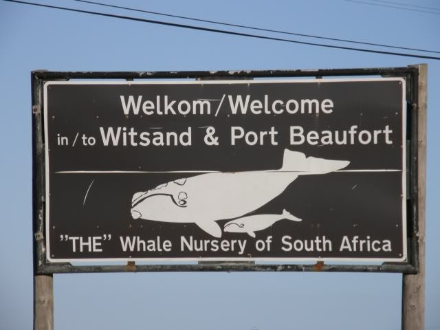
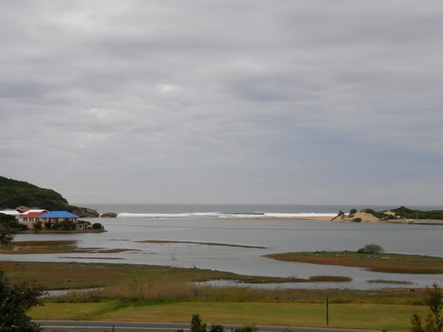
Finally, after riding 306km for the day, we reached Witsand and home for the night.
It was the first time in a long long while that I rode a whole day on new roads I have not seen before. What a blast!
After a nice braai and the usual chatter we turned in. Who would have guessed that day 2 would turn out to be even better than this?
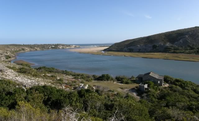
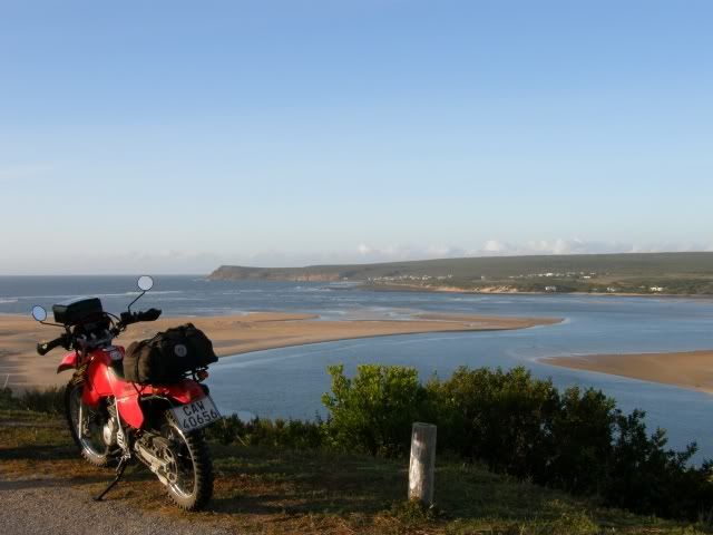
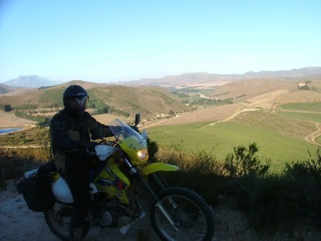
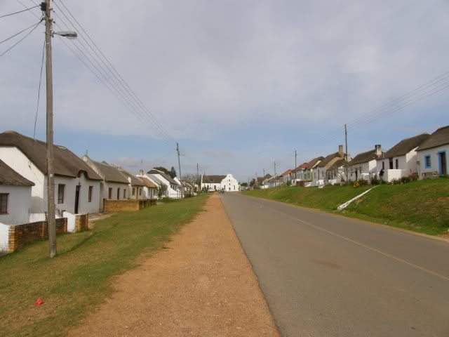
Day 2We woke to a crisp clear morning.
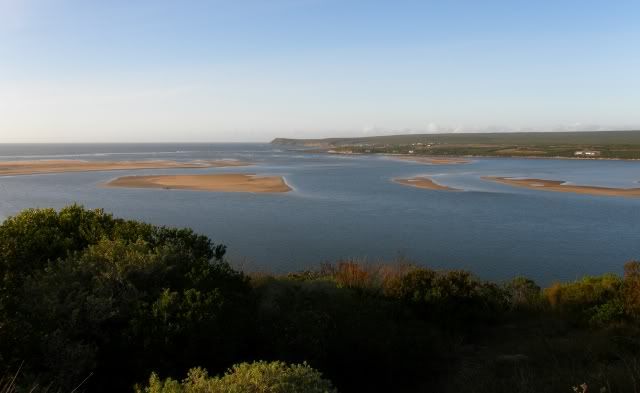
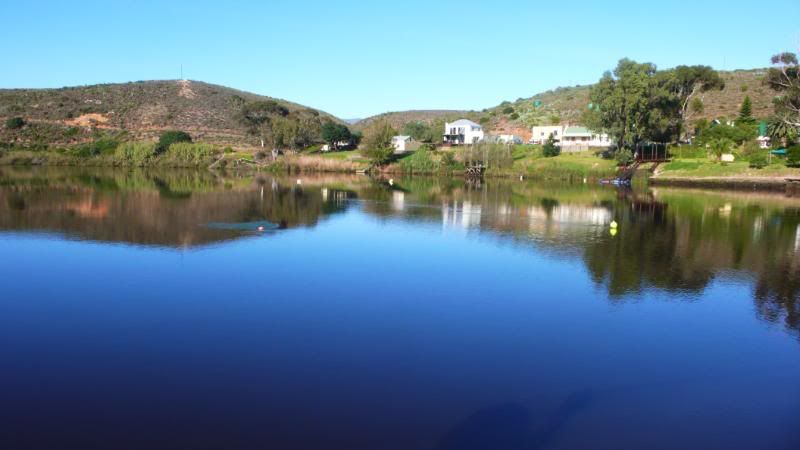
This bode well for a lovely riding day with better conditions for photography. Rooipoot gave us a quick tour of the little town called Witsand. The Breede river mouth:
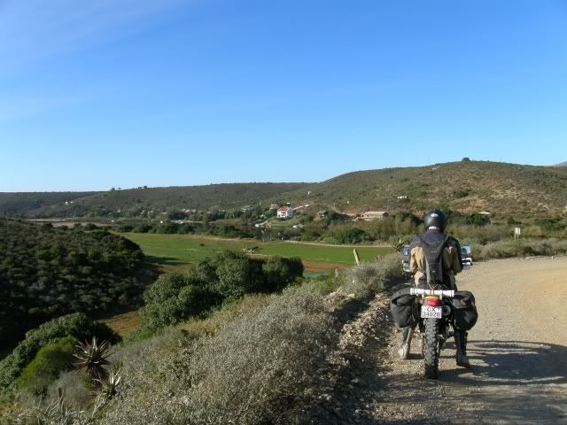
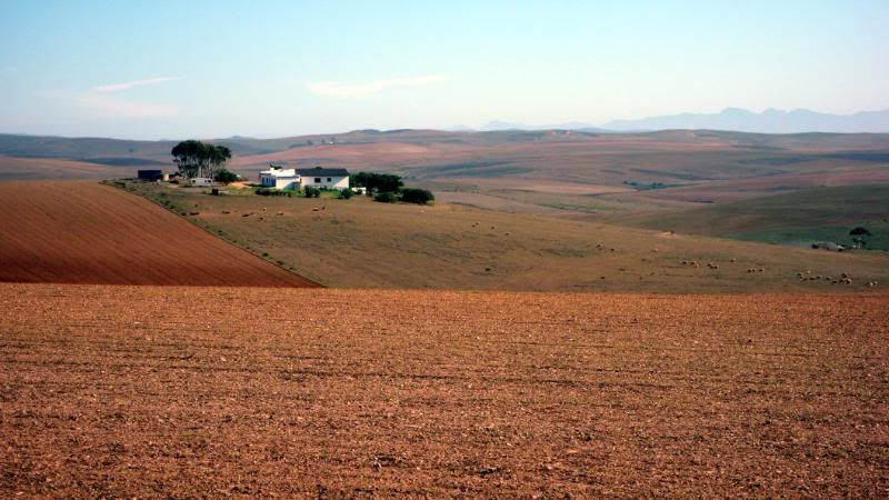
Today we’d head inland and explore the Overberg. Rooipoot arranged for us to take some nice routes over private land and I had a real sense of expectation.
The scenery and textures changed continuously and we had a lot of photo stops.
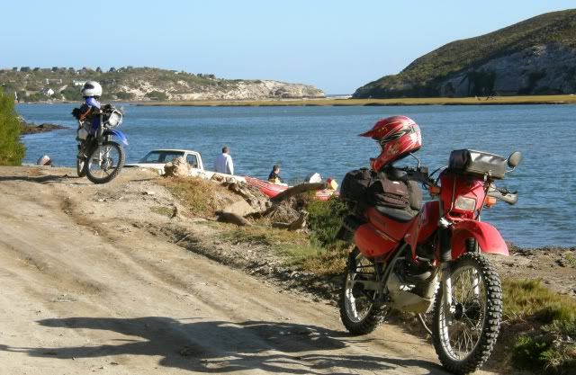
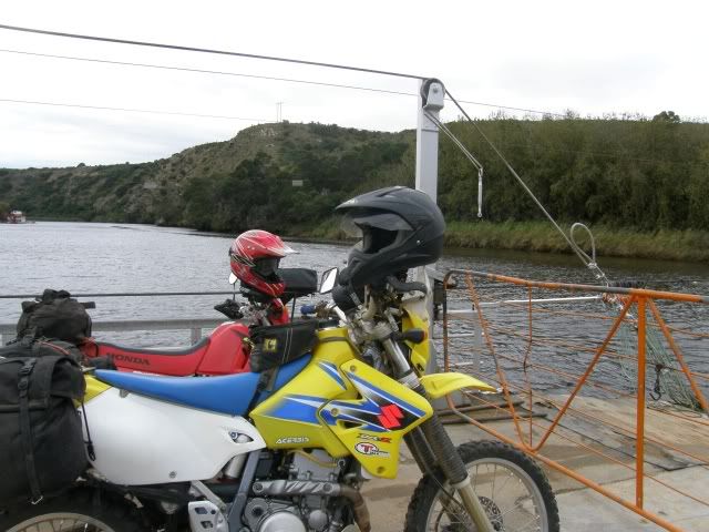
So much so that we were late for our rondevoux with Eisbein at the Malgas pontoon. He was waiting just around this corner

After we said our hallo’s we headed for the pontoon. I have wanted to take my bike over this thing for a very long time. Today was the day
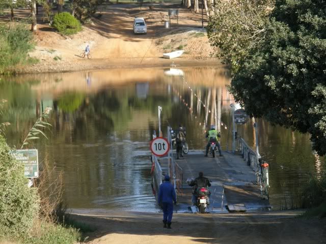
The
Malgas pontoon is the last operating pontoon in South Africa and it is operated by hand.
This is my biggest river crossing to date
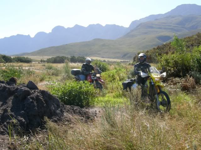
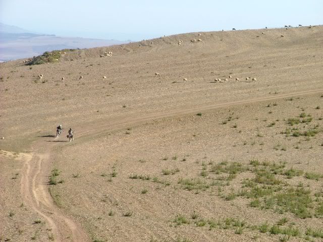
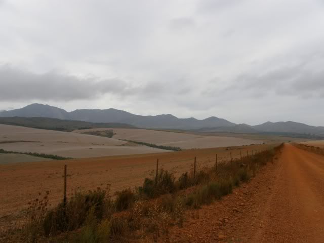
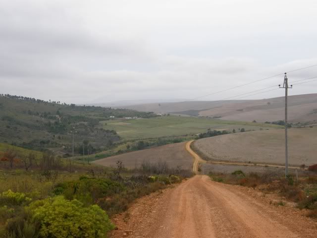
Rooipoot had a very nice route planned and he knows the Overberg and it’s people well. The scenery changed from planted farmland to grazing and vast open spaces.
Again, as per usual, we had lots and lots of photo stops. I took over a 100 photos on this day alone.
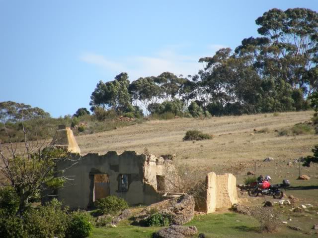
We crossed the N2 and went onto a farm road just over the Stormsriver bridge. Beautiful scenery all over again.
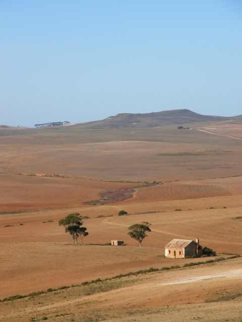
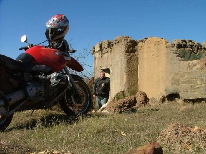
We saw this derelict house on the side of the road. Rooipoot said we just had to stop as it offered
excellent photo opportunities.
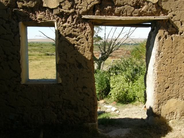
The pleasures of a nice camera. The house is between the trees and Eisbein’s GS is next to it:
Now with the 18x Optical zoom:
Next we came to a river with a washed away bridge. What is a ride without some bundu bashing and a river crossing?
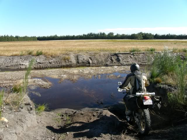
Eisbein takes that GS everywhere the small bikes want to go!
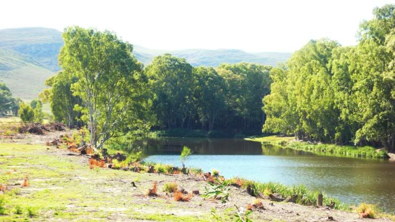
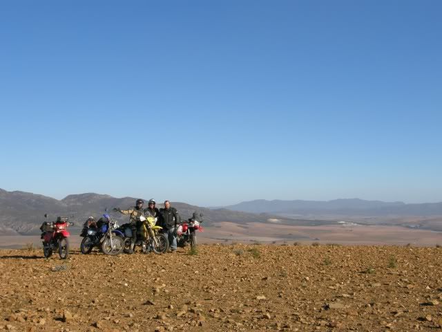
Then we tackled the mountains. Imagine having your own private gravel pass? Wow.
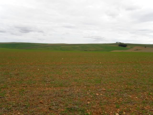
The views were breathtaking. Imagine the same view in August / September when the greens and yellows of the Canola cover the whole area.
This mountain reminded of a moon landscape.
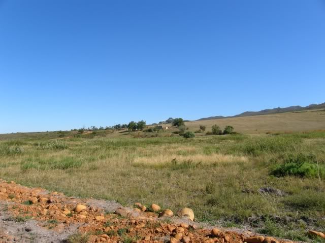
Down the other side and up the next, even higher, mountain. It was a gravel pass with steep inclines and loose stones and gravel. This mountain was covered in Protea plants and other fynbos and totally different from the bare mountain we’ve been on just before.
What a great area to ride in. Changing scenery and conditions all the time.
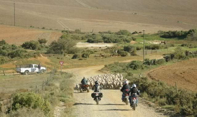
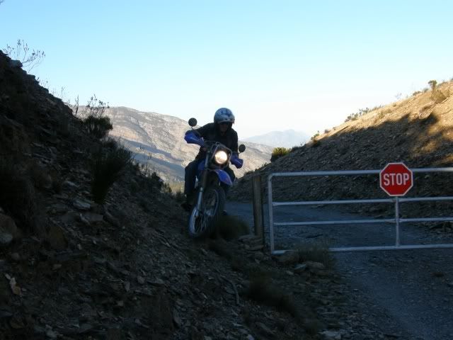
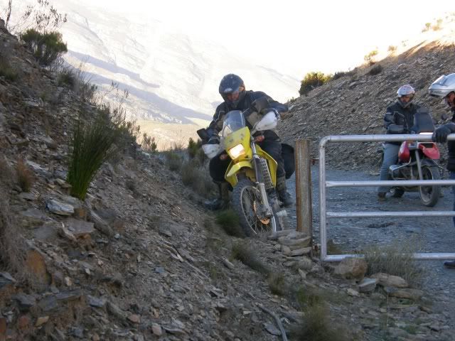
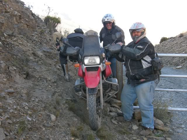
On the other side we ran into a gate which was locked. No problem – just ride around
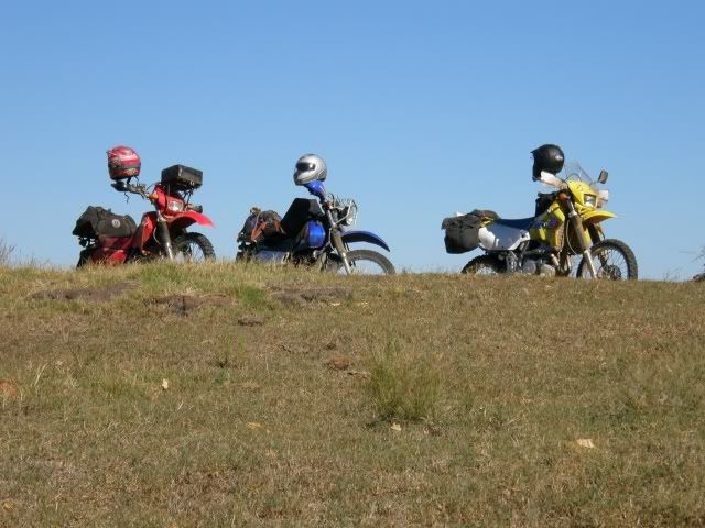
(we were here legally). I went first and Rooipoot followed. Farm bikes in their element on the farm roads.
Next up LGF
and finally Eisbein
Photos just cannot do justice of the scenery we rode in. Day 1 was great, Day 2 was even better! I LOVE the mountains. We rode down to the view of the Theewaterskloof dam. What and end to a great day’s riding.
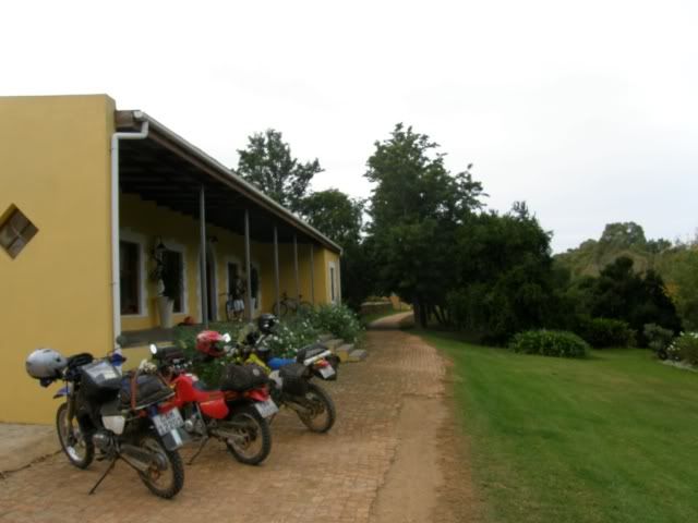
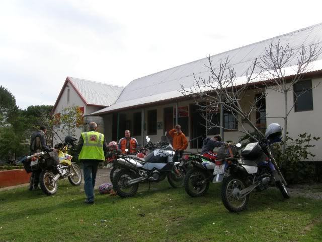
We spent the night in Villiersdorp at Rooipoot’s place and of course had great food in great company.
We rode 275km on Day 2. On day three we’d turn South and head to the Southernmost tip of the continent.
Day 3Today we rose early (some earlier than others
) to start our trip to
L’Agulhas.
Unfortunately Eisbein had to head home and we said our goodbyes at the Theewaterskloof dam. Thanks for joining us!
Always a pleasure to ride with you.
I was excited about today. We were going to ride routes like Van der Stel pass, Fall down hill and Akkedisberg – all places I’ve read about on the Wild Dog forum.
Van der Stell Pass was less of a pass than I expected, but nice nonetheless.
Once again we rode through ever changing scenery. The Overberg sure is a great place to ride
Finally we saw “Fall down Hill” in the distance. We did several steep uphills the day before and LGF and I were looking forward to a real challenge.
We rode and rode and suddenly Rooipoot stopped. That was it? Huh? Where’s the technical bit? I hope I don’t offend any Wild Dog member, but if that was difficult than maybe the route we rode on Day 2 might not be for you
“Fall down Hill” myth busters:
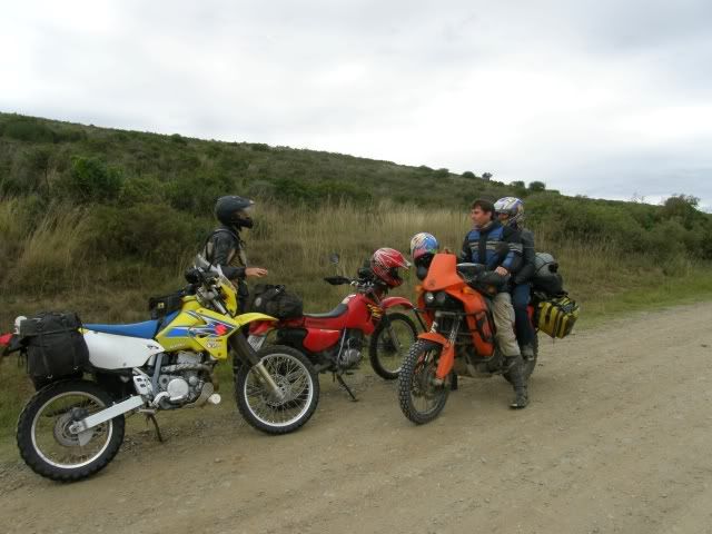
Our route would take us within 20 or so kilometers from Uiltjies Uilnes (Uiltjie is a WD forum member and friend), but not past it. We phoned Uiltjie and asked if he wants to hook up with us somewhere. Guess what? There is no way you can even ride near Uiltjie’s place and not drop by the Uilnes. He insists.
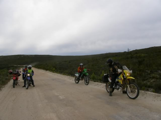
After some refreshments 5 bikes set off to Baardskeerdersbos. 4 smaller bikes and a monster:
Baardskeerdersbos is a delightful place and I immediately felt at home.
Lot’s of Stormers jerseys and flags and friendly faces.
But for LGF’s voice of reason Uiltjie and I would still be there
After about and hour (or so
) we rode on, leaving Uiltjie and his hatchlings behind. We rode through the mission town of
Elim – very interesting.
 “Elim is a unique historical village, situated halfway on the dirt-road from Gansbaai to Bredasdorp. It was founded as a Moravian mission station in 1824 on the site of an existing farm called Vogelstruiskraal. As the third Moravian mission station in the Cape, it was dedicated to establishing a self-supporting church of indigenous people. Even at present, the whole of the municipal property is still, uniquely, owned and managed by the Moravian Church of South Africa.”
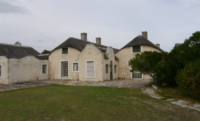
From here Rooipoot took us to the Historic farm
Ratelrivier. The picturesque setting looked like it could be a picture on a puzzle.
The original farm was known as Buffeljagt aan de Ratelrivier and was ceded by the VOC as a loan farm to Matthys Lourens in 1745. Ratelrivier is one of the oldest farms in the area. The history of the farm is closely linked to the history of the adjacent farms Rietfontein and Buffeljagt and the area features in Dalene Matthee’s book “Die Uitgespoeldes”
When the farm was sold to 45-year old Hans Jacob Swart in 1831 it comprised nearly 2343 morgen (about 1875 ha). Hans Jacob Swart died in 1835 and his widow Catharina Elizabeth (née Moolman) continued farming for more than 25 years with her sons and slaves, whom she apparently ruled with iron discipline. Sadly, his two sons, Dirk Gysbert and the younger Pieter Johannes Albertus, did not inherit their father’s good nature. Known for their violent and ungovernable tempers, they were socialites, given to heavy drinking and abusive behaviour towards slaves and even their own wives, men who often clashed with the law. Barely six months after their father’s death they both killed their wives.
Legend has it that the dying Jacoba Alida left a bloody hand print on the passage wall, which subsequent farm owners could not erase.
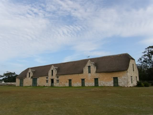
In later years William Fletcher imported stock and bred race horses and built a large stable complex on the farm, with individual Oregon pine stalls for the stallions. Two of the horses’ names, Peggy and Robin, are still visible against the walls.
His horses raced on all the important tracks and had their own colours.
The next time I ride in the Overberg I will set aside an entire day to explore these farms, but it was getting late and we had to push on.
We were headed to the coastal “Resort town” of Struisbaai on a long weekend and we had no accommodation or bookings. Talk about living on the edge
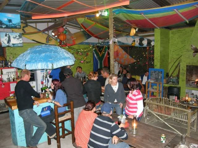
After riding around town a bit we saw a backpackers and decided to check it out. What a surprise! It was filled with young girls (OK OK, there were some guys too) from abroad that were traveling through our lovely country.
Best of all – they had space for us
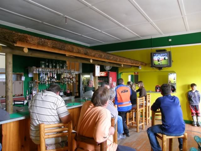
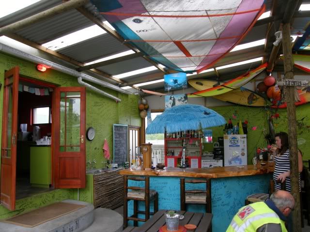
We unpacked, bought some steaks and headed to “Cheers” to watch the Stormers crush the Brumbies (Super 14 Rugby) on a helluva big screen.
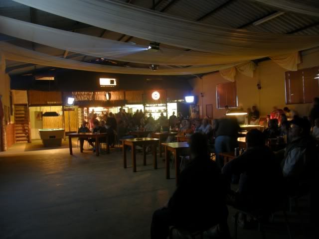
By the time we got back to the Backpackers the (cheap) bar was buzzing! Now this is what you call a target rich environment
(Just kidding
)
We had a nice braai and had some interesting chats with the people there. I stayed behind in the bar after the two “Old toppies” went to sleep…
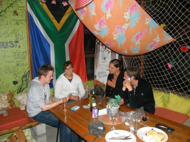
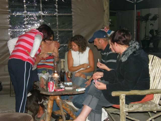
… and partied until finally I got to bed at 2am in the morning. What a day. 275km, great scenery, good friends and a great party as the cherry on top.
In a few hours I’d have to get up and do the last 5kms to L’Agulhas before tackling the road back to George.
Day 4Despite my late night felt good this morning. I did have some "Guronsan C" vitamins though (preventative measure
).
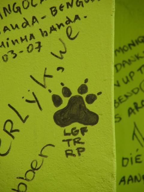
Before we left we had to mark our territory. Have a look at the top left.
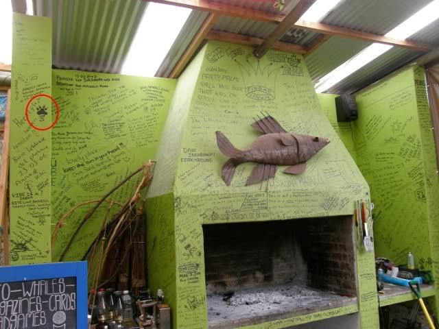
Maybe some Wild dogs can add their names in future?
Next up:
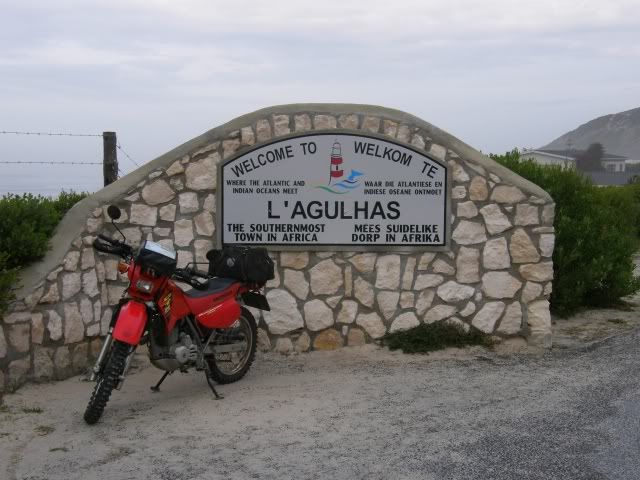
And of course the obligatory pic of my bike at the Southernmost tip of Africa.
It's the end of the world and I like it!


The second lighthouse of the trip:
This lighthouse has been in operation since 1 March 1849 and has a range of 30 nautical miles. South Africa's third lighthouse, and the second oldest surviving lighthouse (after Green Point). The lighthouse marks the southernmost point of Africa at latitude 34°50' S and the junction of the Atlantic and Indian Oceans at longitude 20°01' E and the one with the most shipwrecks near it. The ultimate tip of the continent is 1 km (0.6 mi) west southwest of the lighthouse.
This historic light, surely one of the world's great lighthouses, was deactivated in 1968 when deterioration of the sandstone walls made the tower appear unsafe. The light was then transferred to a lattice tower. Restoration of the original tower began in 1983. The original lighthouse was recommissioned on 25 March 1988. The lighthouse museum opened in 1994. The lighthouse is now a national monument and open to the public.

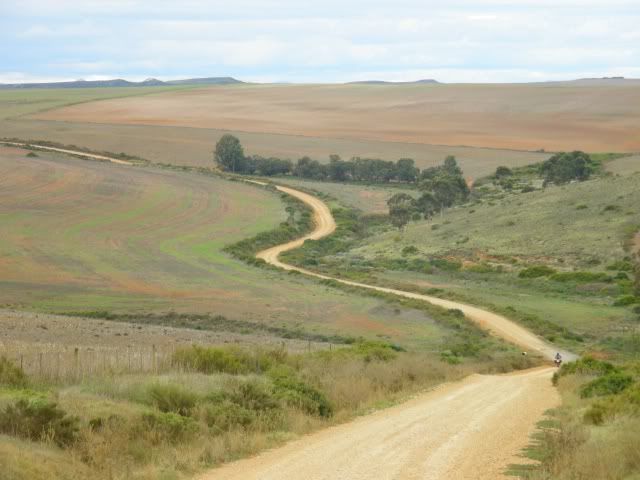
As with all things, this trip too had to come to an end, but not before we crossed the Overberg again

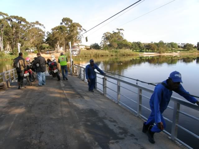
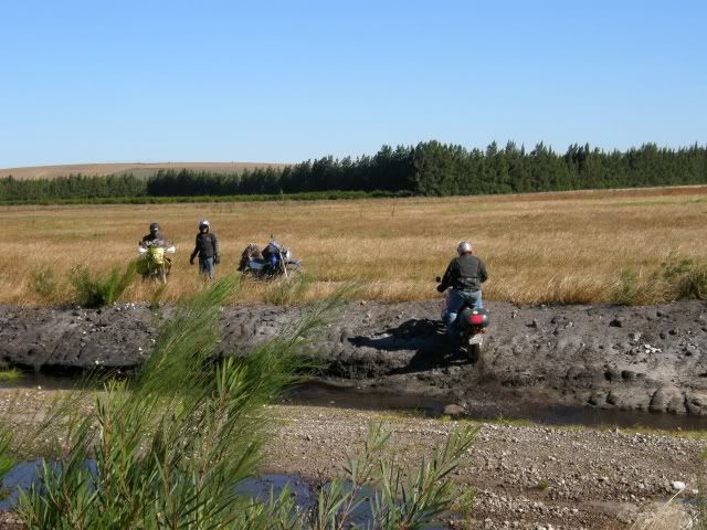
Rooipoot had to split off (to ride back to Villiersdorp) close to Malgas, but LGF and I had another river crossing on the pontoon
And lo and behold! When we got to the other side we ran into yet another Wild Dog
Nice to meet you Smurf!
He was on his way back to Cape Town after riding the Transkei with some other WD’s.
Some more scenery on the way back:
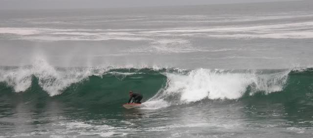
On Day 1 we were in such a hurry to get off the tar that we rode past some of the beautiful spots. For the sake of thoroughness and in the spirit of this trip I decided to visit the lighthouse and river mouths we missed on Day 1. At Mosselbay LGF split off and headed home while I took a detour to Cape St Blaze, but not before I watched some of the locals catch some waves.
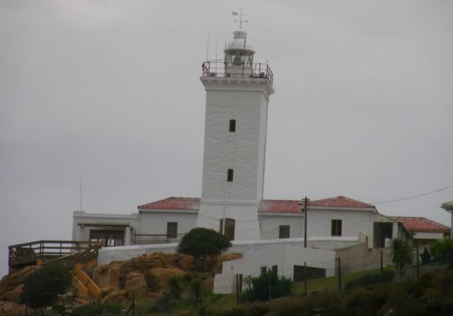
Situated at Mossel Bay, Cape St Blaize lighthouse is a 20.5 metre square concrete tower which is painted white. The lighthouse has been a working navigational aid since 1864 and is a popular tourist venue with a tea-room on the grounds. The spectacular views from the top extend over the peninsular, across the bay, towards the Outeniqua Mountains and out to the Indian Ocean. Bartholemue Dias sailed into Mossel Bay on 3 Feb 1488 which was the festival day of Sao Bras and he named the bay “Aguado de Sao Bras”which means, watering place of St Blaize, because of the spring of fresh water located near the shore.
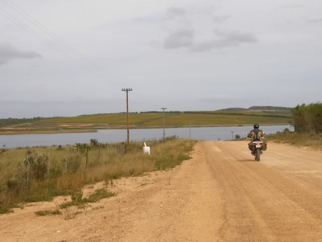
On the way home:
Klein Brak river mouth
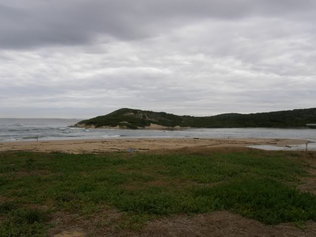
and Groot Brak river mouth
What a great trip! No incidents or accidents. Not even a flat tyre. We had nice riding weather as well… until, about 20km from home, I saw this:
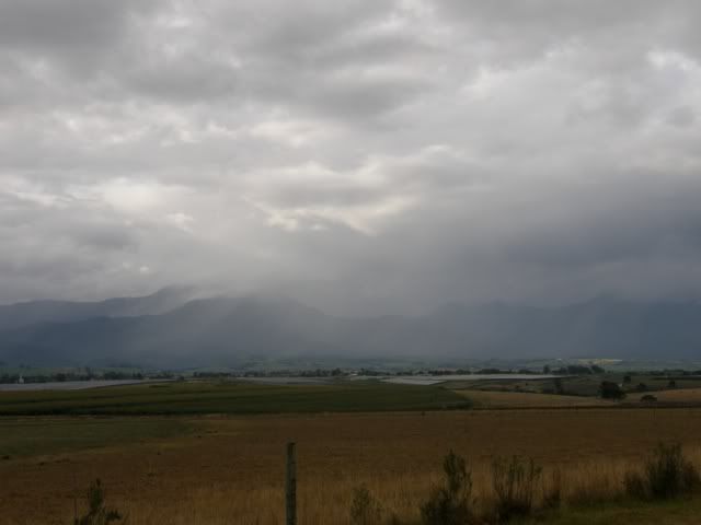
But luckily I missed that shower and got home safe and dry. On Day 4 I rode 325km and over the 4 days I rode 1181km in total.
This was a good trip. I will definitely go back and visit the Overberg again. There is so much more to see. Thanks to all who made this trip special.
Till we ride again

Thanks to Eisbein and LGF for their contribution of the photos.
.


