Wednesday, April 18, 2012

Every Girl's Dream - A Life Celebrated!

.

A very sad update to this post. Didi Coertze lost her battle with cancer on Saturday afternoon (14 April) at 16:15 after being admitted to hospital at 02:00 that same morning. According to her mother, Cindy, she had been fine on Friday, but was not feeling well during the night. "We still went out on Friday evening."

DiDi lived life to the full right to the very end. She was an inspiration.

Motorcyclists have been invited to attend her funeral this morning as we did last year when we provided a cavalcade for Didi on her way to her matric farewell. That night she made us part of her special night. Today we got to do something in return.

The Southern Cape bikers started organizing immediately. It was on short notice, just like the martic farewell ride and on top of that this would happen mid week and during business hours. But again the bikers did not disappoint. Those who could make it did and those who could not rode with us in spirit.

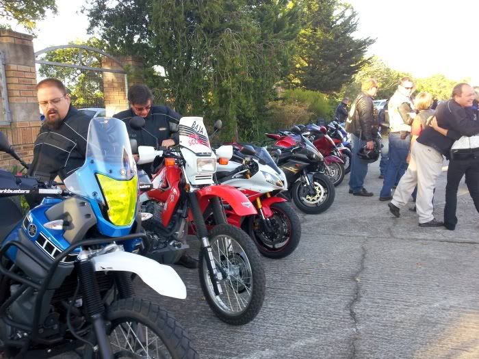
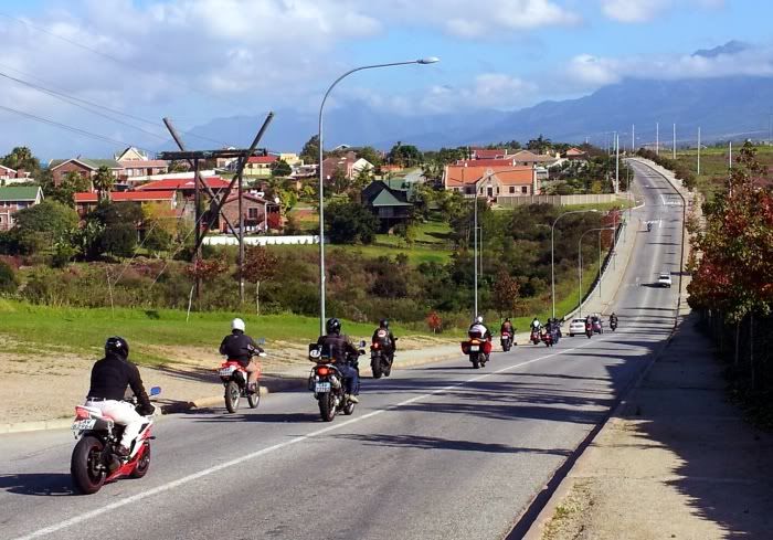
Starting to gather early on a Wednesday morning:


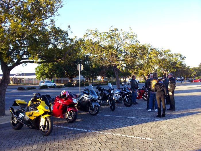
There were different bikes, different kinds of bikes, different kinds of people and people from different clubs. But true to the brotherhood of biking, when the chips are down, we all stand together.

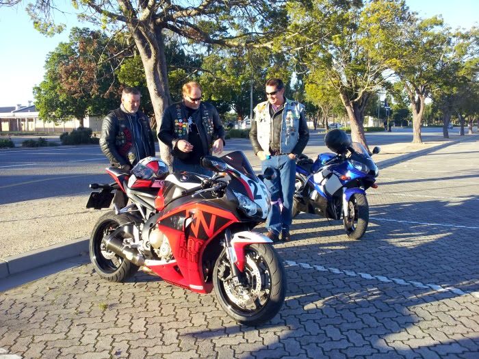
While waiting for more bikes to arrive everybody talks bikes of course. This beautiful Race Nation Fireblade got some extra attention:


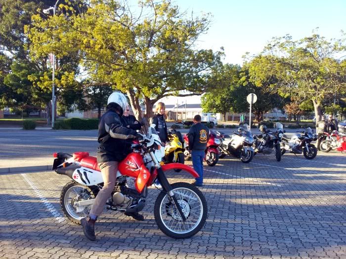
Soon more bikes arrived. Buks on his new XR650 sporting his Wild Dog paws:


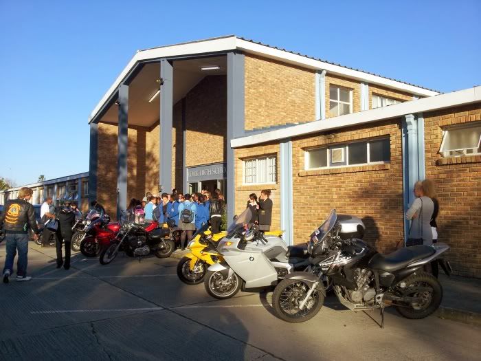
We all rode to York High school together where more bikes waited.


The hall where the memorial was held was absolutely packed.


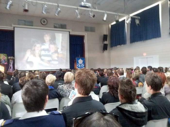
Kids from different schools (Southern Cape Children's Choir) lined the walls and sang choir songs. DiDi was the head girl of the Southern Cape Children's Choir in 2010, when they became the champion children's choir of South Africa.


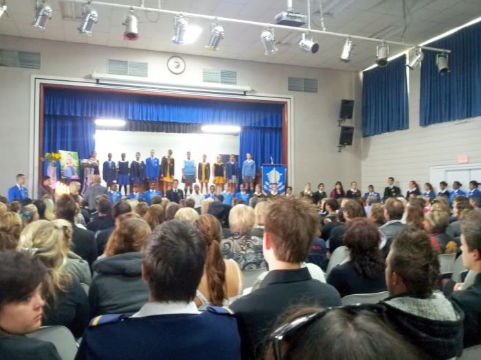
There was a range of emotions. It was incredibly sad, but at the same time, as the photos of her life scrolled by and friends and family told their stories of this wonderful girl, it was a celebration of her life. This girl touched many lives.

What an honour it was to be part of the roaring send-off of DiDi Coertze.


No more pain, only peace. Ride the highways of heaven Didi.


Daniellè Coertze
March 11, 1993 to April 14, 2012


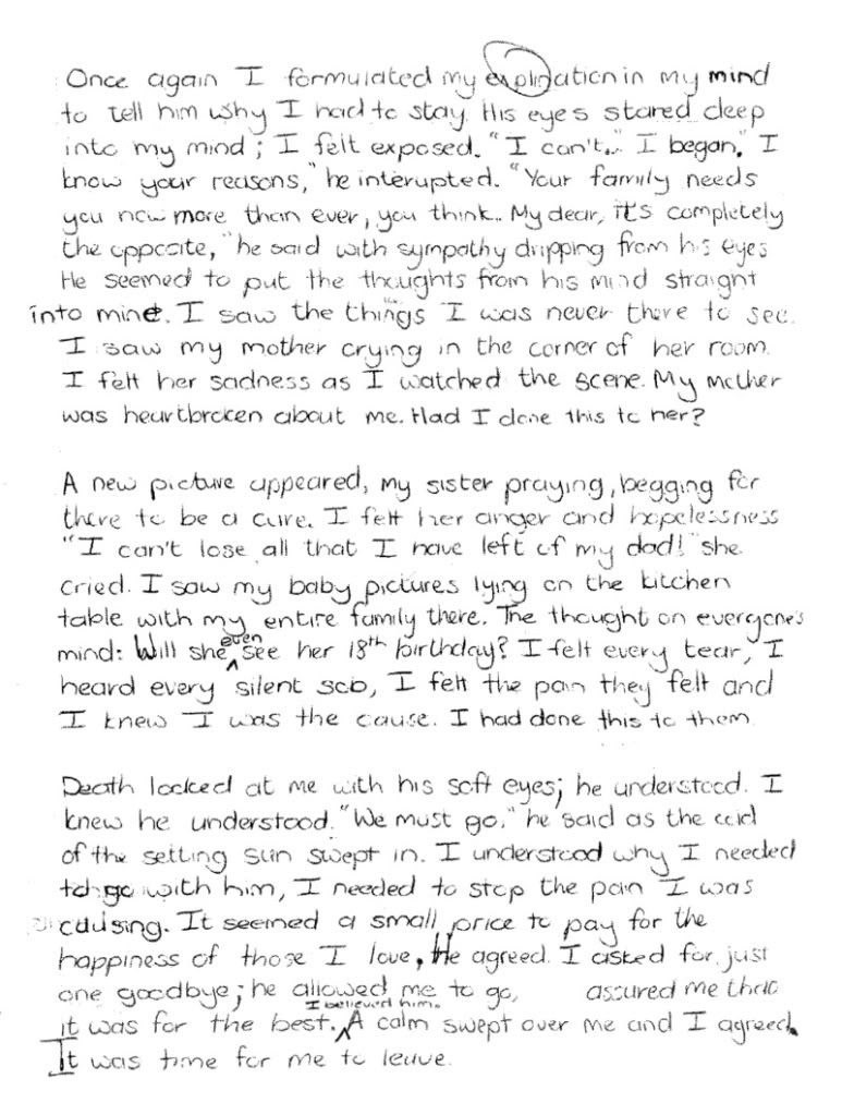
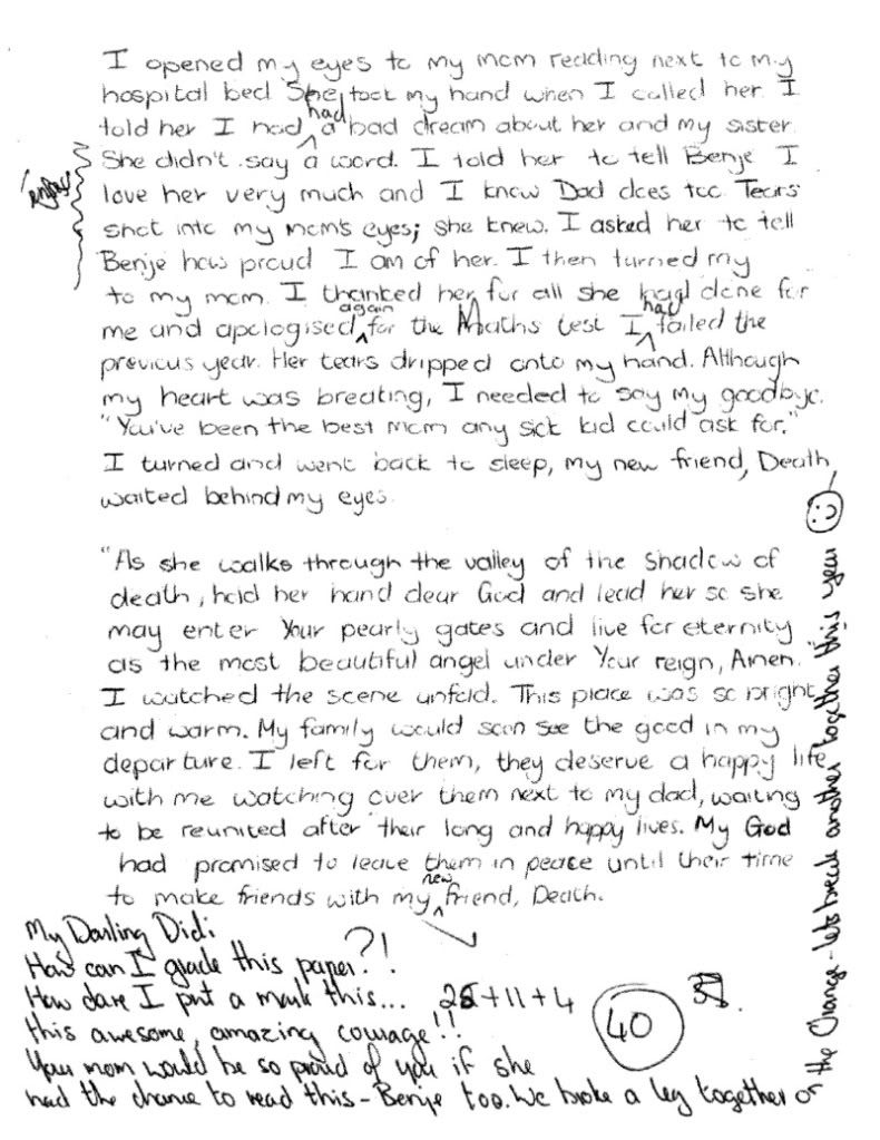
DiDi wrote an Essay on 20 March 2012. It was distributed with the funeral letter. Please take the time to read it. It will touch your soul. (Click on each page to enlarge)


Didi in the news:

Bikers Gazette


Other articles:

Local girl loses half her leg to cancer.

Brave hearts take the steps.

10 Million steps for Cancer.

Didi Coertze passes away.

Funeral service for Didi.

Courageous DiDi dies.

International Hero of Hope will never hold award.


Danielle Didi Coertze


.

Friday, April 13, 2012

What lies over that River?

.

Since my first little excursion in search of Vaandrigsdrif, my interest in the place and area went off the charts. I started doing more research and one fascinating fact led me to another.

Southern Africa has one of the longest records of human activity anywhere in the world. The Swellendam region in the Overberg is rich in historic sites dating from over 1 million years ago to more recent colonial settlements. The later Stone Age can be linked to the Khoi Khoi who, in the Swellendam region of the Overberg was known as the Hessequa. This name translated means “people of the trees”.

The Hessequa entered the Overberg region some 2,000 years ago. They were a clan of herders; farming fat tailed sheep and long horn cattle. The Hessequa’s moved freely across the western area of the Overberg and lived on the banks of the Breede River where they grazed their large herds.

Since my last visit things around here have been changing. The winter crops are starting to appear and the whole area is coming alive. As stated before my first photo was taken on the 1st of March 2012:


This was taken on the 13th of April. Just look at the change!


During the days of ensign Beutler this was one of the main routes from Cape Town to Swellendam. It crossed the Zonderendriver at a low-level crossing I located on a farm now called Vaandrighsdrift, on the other side of the river. Here wagons had to camp for days waiting for the river to run down only to be confronted by a full Breede River 8km further on.

Driving past the Vaandrigsdrif road sign and seeing the change every week I knew I needed to continue my search for the actual Vaandrigsdrif at the first possible opportunity. As it happens, today would be that day!

I was early again and had a couple of hours to spare. On top of that I had a suitable vehicle - a GWM H5. The car was sparkling clean (even the tyres were polished) so I had to get my photographs before I hit the gravel roads.


The "before" photo. 
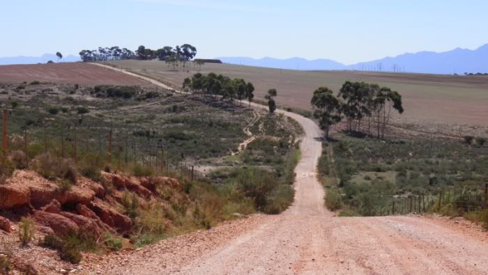
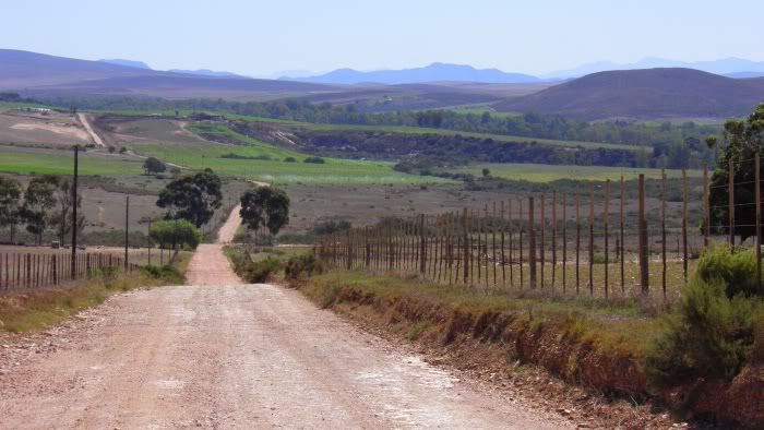
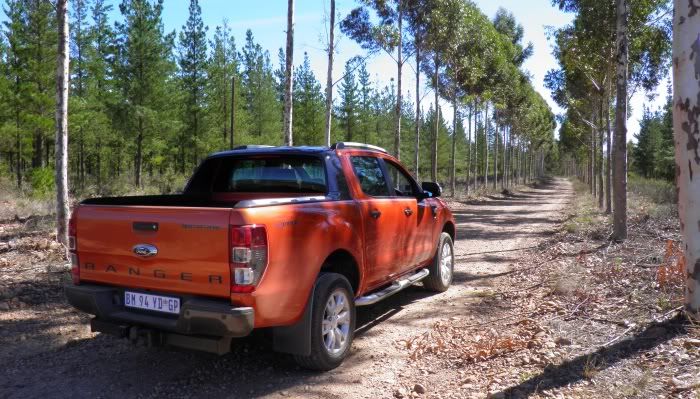
I my opinion vehicles like these are for adventure, so it's not going to stay sparkling for long...

It might be a good idea at this stage to mention that this was not a planned event. The fact that my search continued today happened purely by chance. I have never been on the roads I was headed towards. I had no map and no off-road GPS, only a general idea of where I should be - the other side of the river! 
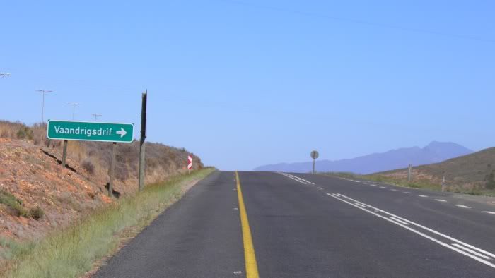
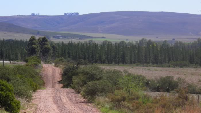
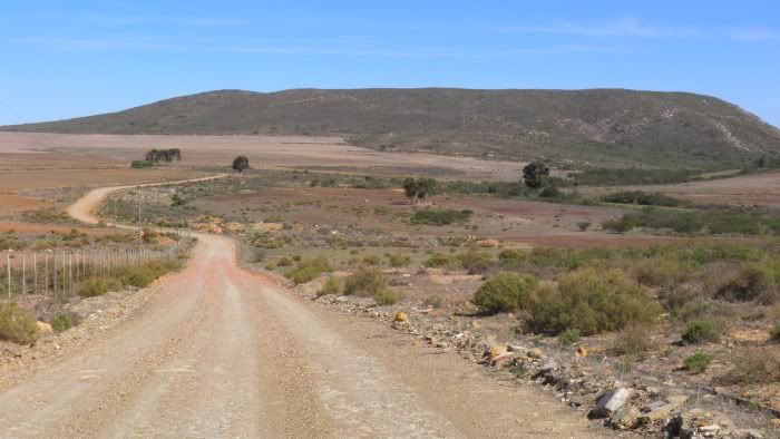
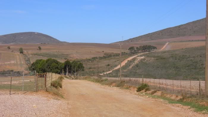
So on my way back to George I took the R317 road off the N2 and crossed the Sonderend River near Stormsvlei.


This road meanders through the mountains via this poort and being is exploring mode I just had to stop for a pic.


The plains on the other side. It makes sense that travellers and explorers would have travelled here rather than on the Southern Side of the mountain range as the Flora here would have been less dense.


Some really scenic roads around here and surprisingly lots of derelict buildings and ruins.


Eventually the road I took wasn't even fenced off. Now I'm roaming free.


I stop at a farmstead to ask about the road towards the river and the friendly owners show me the way - look at this! They have a lovely stone house they rent out as self catering accommodation.


It has a room with a double bed and place for the kids to sleep up top.


Nice fireplace and everything you need.


The house even has two fishing rods if you want to fish in the river. And what a spot!


This would make a perfect weekend getaway for the family.

It is not Vaandrigsdrif though. As it turns out Vaandrigdrif is further East, but what a beautiful area I find myself in.

Some more pics of this area:


I love this pic!


So with all the stops and exploring and photos I used up all my available time and had to start heading back.


This is turning into quite an adventure. Where I ended up today:


(Click for full size map)


.

Monday, April 2, 2012

Vaandrigsdrif

.

As you know, I travel between Cape Town and George (400km+) four times a week. On this road, more or less half way just West of Swellendam, there is a sign called "Vaandrigsdrif".


I used to wonder about this sign when I was in the Air Force based nearby in the early 90's already. The term "Vaandrig" was used as a rank in the SA Navy back then and I always wondered how a Navy rank ended up on a road sign hundreds of kilometeres from the ocean.

I never researched it, but driving past this sign several times a week it peaked my interest again. And not so much the sign, but where it leads...


In any adventure traveller's heart lies the same age old question: "I wonder what lies beyond that hill?"

I decided that one day, when I have enough time, I will go and have a look!

More weeks passed; a chance to explore this road never presenting itself. I did stop one beautiful day to take the above two pictures. That was the 1st of March 2012.


Fast forward one month...


Today things just fell into place. I got away early, had little traffic and changed cars in Cape Town earlier than usual. The car I was supposed to get was unavailable and I got this Ford Ranger Wildtrak instead. The perfect vehicle!


At last. I had time and the right wheels to do it with. Today would be the day.


.

What lies over that Hill?

.

As it turns out, Vaandrigsdrif was named after August Frederik Beutler. He was an ensign ('Vaandrig' being Dutch for ensign) in the employ of the Dutch East India Company who headed an epic 1752 reconnaissance expedition lasting 8 months from 29 February to November, eastward from Cape Town as far as the present-day site of Butterworth. Beutler wrote a comprehensive account (Ride Report ) of his pioneering expedition which was first published in 1896.

His company, consisting of 42 men, 11 wagons and a boat () crossed the Zonderendriver (river without end, translated literally) here.

And as it turns out, there are two places named after Beutler, the other being 'Bottelierskop' near Klein-Brakrivier ('Bottelier' being a corruption of his name). Bottelierskop is a distinct rock outcrop in the area:


(Photo from this site)

Botlierskop (the farm the formation is on and from where it took it's name) has featured in several of the reports on this blog including the very first where my son and I took photos of the wildlife on the Botlierskop farm. The famous "Moordkuyl" route with it's big stones and hectic water crossings also is situated on the same land (it runs right past Bottelierskop) and that also featured on this blog regularly. Small world.

So, ensign Beutler, we meet again!


I find it difficult to describe the real feeling of excitement when I am about to tackle a new route I have not seen before. I must have been an explorer in a previous life.

I wished I was on two wheels though. On a bike you really experience all the elements of an area with all your senses. But having four wheels wasn't going to rob me from seeing what lies over that hill. Sometimes you just have to make do with what life presented you and this Ranger ain't half bad.


This is the Overberg region of South Africa. The scenery around here changes dramatically as the seasons progress. In spring when the farmers start planting the area turns a lush green. Soon after the Canola they plant goes into flower and turn the landscapes into bright yellow. A sight to behold. After the harvest the area is dust brown:


Just over the hill the Sonderend River snakes along, providing the farmers on the adjacent land with water for irrigation. You can already see the landscape turning green in the distance:


I rolled down all the windows to try and mimic the experience I would have on a bike, also taking in the sounds and smells. From the dusty heat the fragrance quickly changed to the smell of earth wet after the rain. It was the land being irrigated and springing into life.

I stopped to soak in the fragrance, only to find that the huge dust cloud engulfed the whole cabin through the open windows. Four wheels makes a lot more dust than two! Windows back up quickly!

Some scenery:


The road continues a short way past the farm to a small plantation:


This is private property and clearly marked "no entry", so I had to turn around. But not before standing among the trees and sneaking a quick photo!


So what was on the other side of the hill?

Some would say: "Nothing. It's just a dead end."

Some more scenery shots on the way out:

Greens and blues:


Shades of dark greens and browns:


And on top of the hill looking back to the road - the reverse shot of the view I always wondered about.


What did I find on the other side of the hill?

I found plenty. Beautiful landscapes, varying scenery and one of the best smells in the world. I also discovered more history on this little stretch of road than I could ever imagine. I found an unlikely link not only to a Dutch officer, but also to a place close to home. I gained a story to tell my kids the next time they travel with me to Cape Town.

I had a 40 minute holiday.

I could not reach the river, but when I studied the maps of where I've been later I realized that there is no crossing. But there is a placename on the map on the other side of the river called "Vaandrigsdrif" and a road leading right to it! That must be the spot where Beutler crossed!

The map for today:


(Click for full size)


.