.
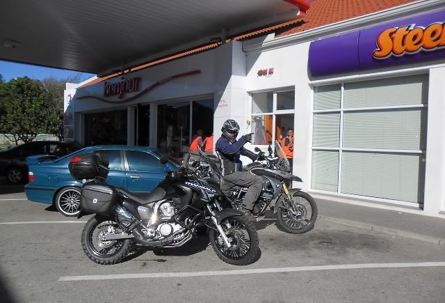
One phone call and I was summoned. One call.I am pretty busy these days, little time to ride and even less time to do reports, but when certain people speak you listen. Honeybadger is such a person. A wise traveller with experience I can only dream of. He also happens to be Mr. Tracks for Africa.
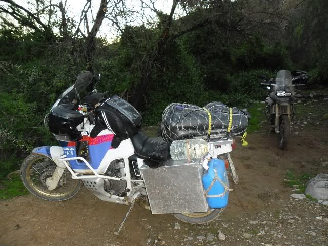
There was to be a "Bosberaad" in the Hell (where else?) and my pressence was requested. Important matters relating to travel and travel reporting was to be discussed. So on the morning of Saturday 30 July my bike was packed and ready.
I met another attendee - Bernard - nearby and soon we were on our way to Hell.
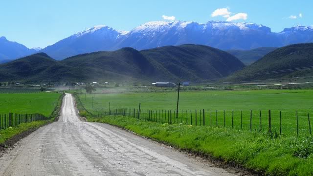
My rides used to start with Montagu Pass, but since we've moved it starts with the lesser known Great Brak Pass. Work on this pass began under Henry Fancourt White shortly after he finished the Montagu Pass. Although not as serious an impediment as what other passes had to contend with, the height and steep slope of the escarpment between George and Mossel Bay still necessitated the building of a suitable pass.
Looking back over the Pass to Great Brak:
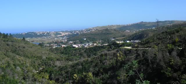
This does not mean that Montagu Pass is not on my route anymore, I never miss a chance to ride Montagu Pass.

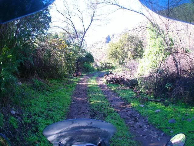
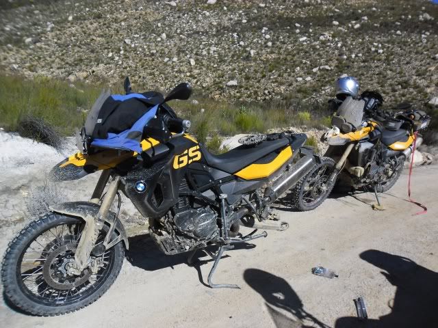
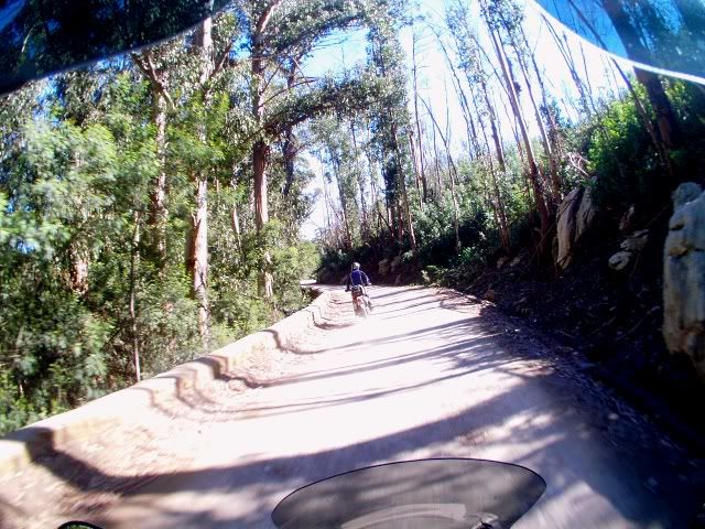
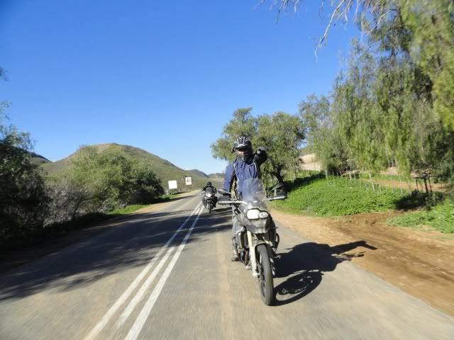
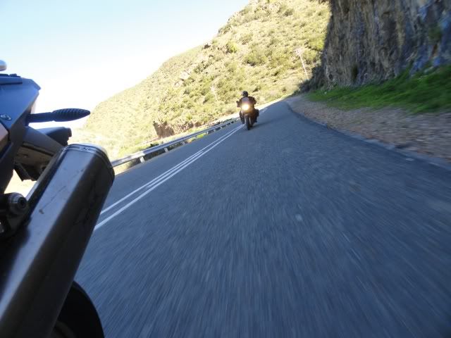
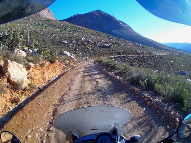
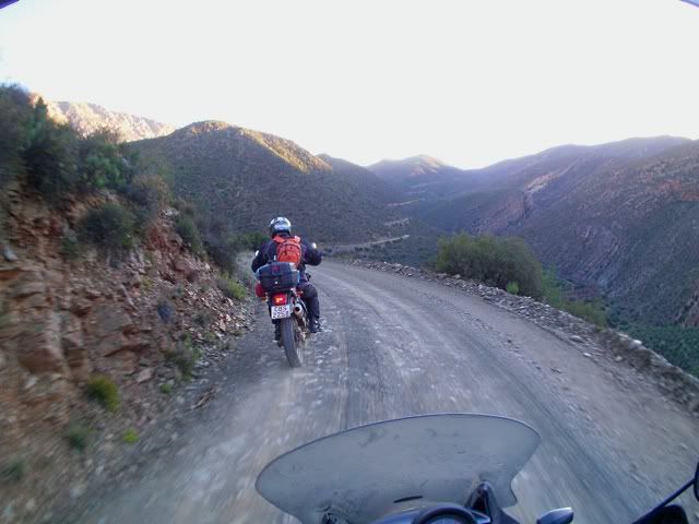
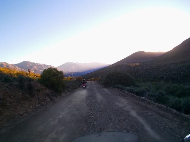
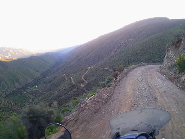
On this trip I was evaluating the Liquid Image Goggle cam, so there are some nice in-ride shots:
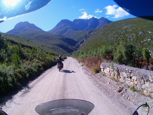
Brilliant views from here as always.
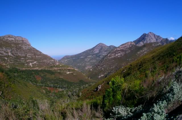
Bernard and I didn't get away as early as we would have liked, so we pushed on - close to Herold:
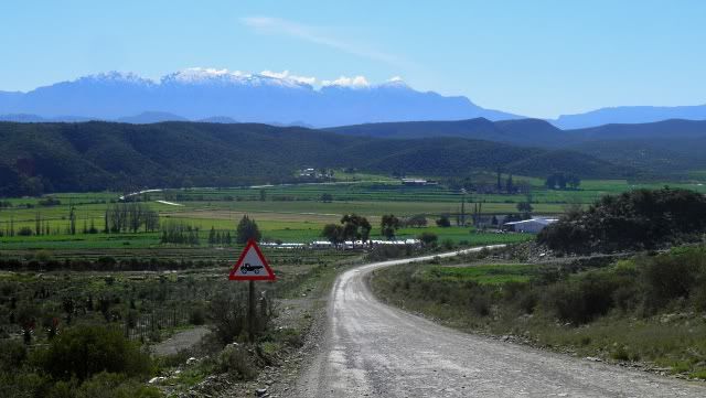
And entering the Klein Karoo through Paarde Poort:
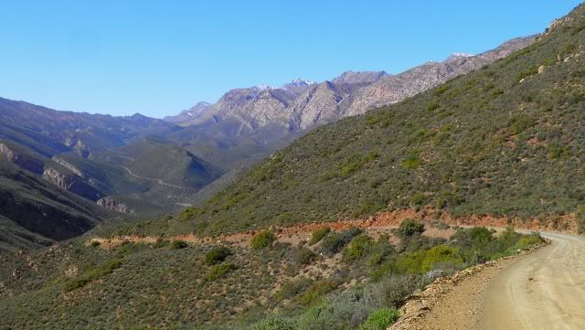
We had a wet and cold winter, leaving the semi arid Klein Karoo green and beautiful. Some snow can still be seen on the Swartberg Mountain.
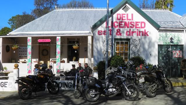
We soon caught up with Honeybadger's group which meant that we could now take it easy and travel with the group, but first, lunch in De Rust (recently named South Africa's Town of the Year
).
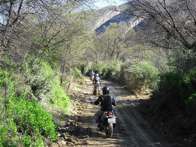
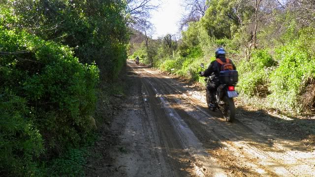
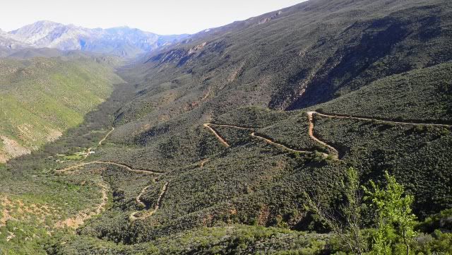
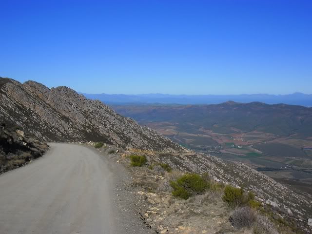
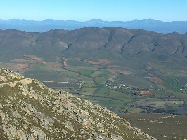
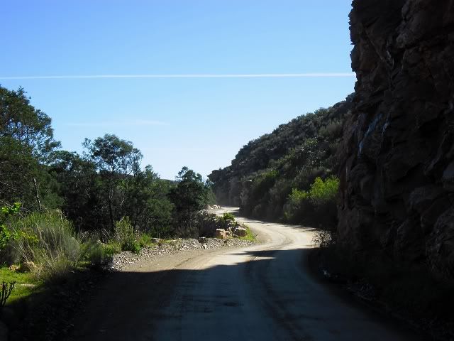
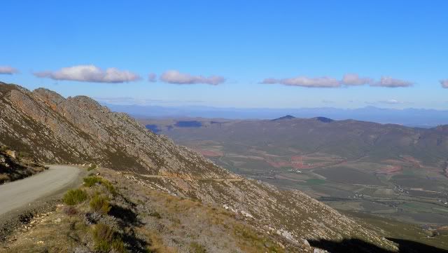
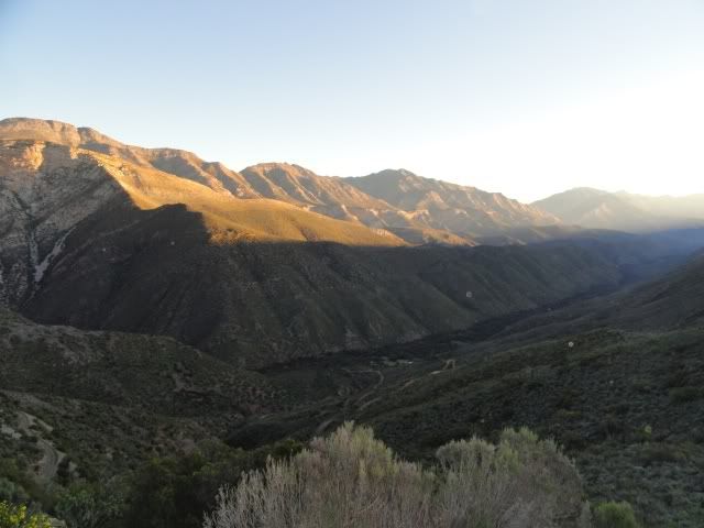
From De Rust we headed West along the Oude Muragie road. It runs through both farmland and indigenous area and has several little passes.
I have ridden here so many times before but each time is different. This area changes with every downpour, drought and season, it remains beautiful each time you see it.
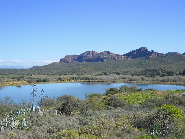
Koos Raubenheimer dam:
This is a deep, rocky dam well known among fishermen. The dam has a a good population of largemouth bass and is extremely clear with visibility of usually more than 2 metres. Known by insiders as the bass Mecca of the Little Karoo, Raubenheimer regularly delivers bass in the 2 - 3 kilo range, even topping 3 kg, although the average seems to be more in the half to one kilo range.
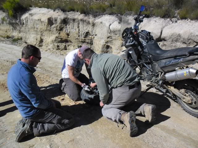
We had no time to fish though. We still had some ways to go so we got some supplies and off we went...

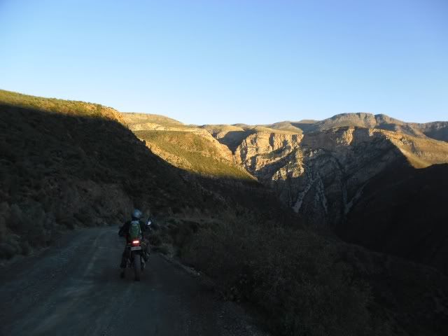
Riding through Schoeman's Poort:
(Photo by Eugene)
(Photo by Eugene)
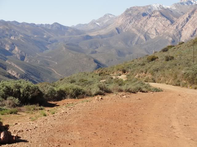
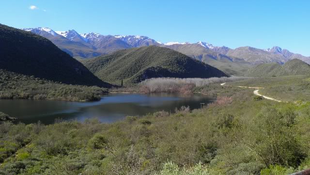
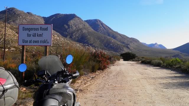
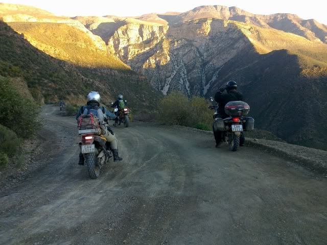
Swartberg Pass was beautiful as always, but we had to push on. Time was not on our side.
The last stretch...
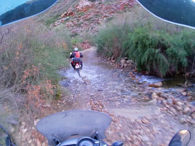
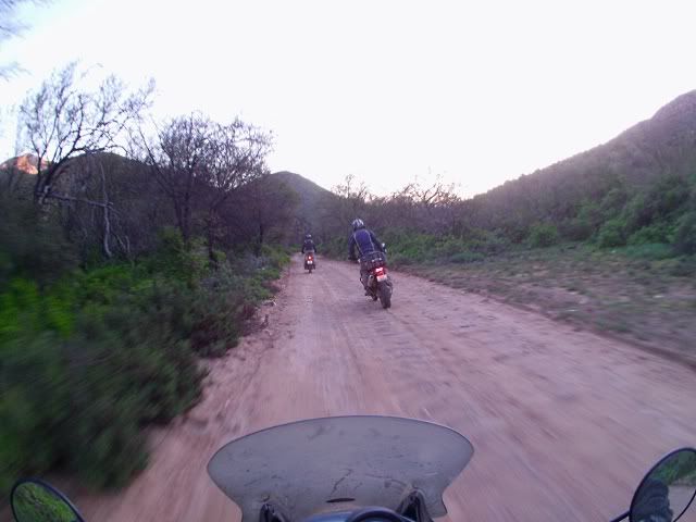
Riding towards the setting sun, the helmet cam doing his thing:
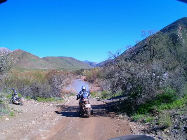
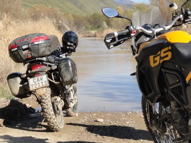
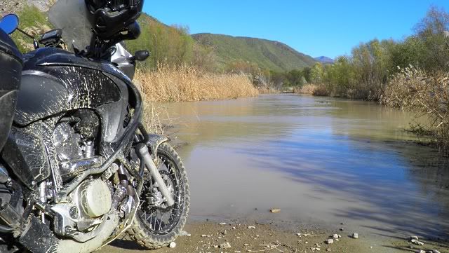
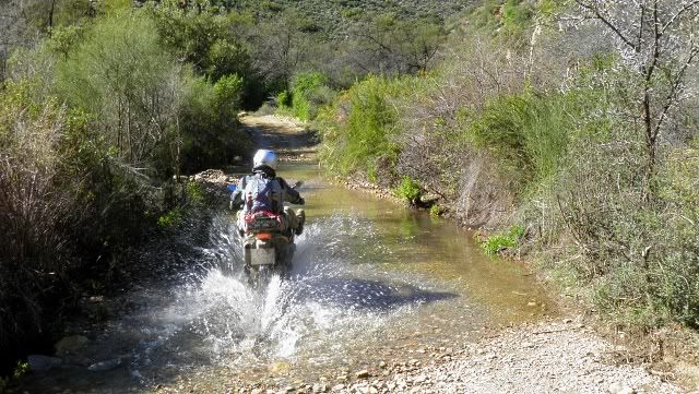
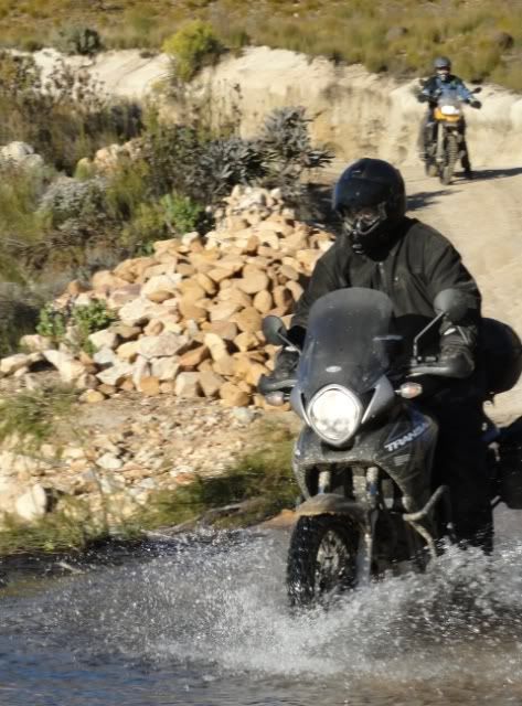
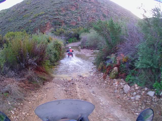
There were some flooding here recently so there was some fun to be had...
(Photo by Eugene)
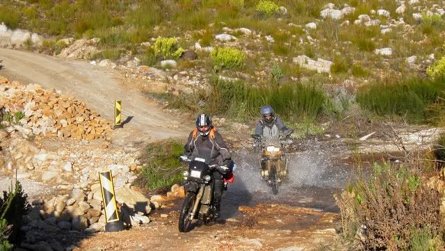
More water!


(Photo by Eugene)
I was riding behind SW Burger with Bernard closely following us.
Some footage from Bernard's helmet cam:
We weren't going as fast as it seems in the video footage. Fish-eyed lenses exaggerate speed.

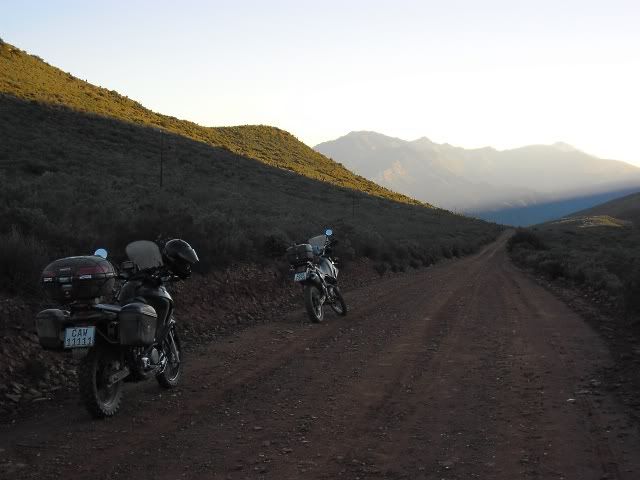
A quick stop and regroup at the end of the road before the descent.
Honey badger - if that bike could talk...
The last push:
A quick look over the edge...
(Photo by SW Burger)
(Photo by Eugene)
...and as we approached our destination for the night darkness crept ever closer and soon we descended into the depths of Hell.
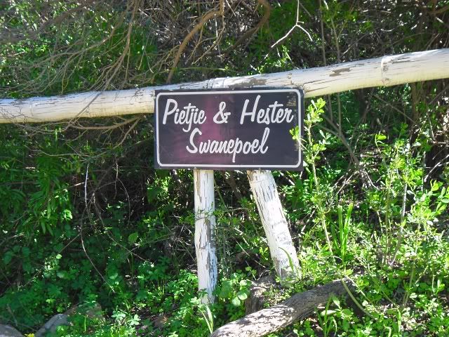
We were booked at Boplaas, a farm right at the end of Gamkaskloof, but as luck would have it the Gamkasriver was in full flood and the farm inaccessible.

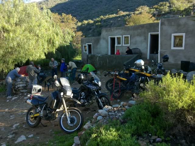
No problem. Alternate arrangements were made and we ended up spending the evening at Pietjie and Hester Swanepoel's place with another traveller who rode his Honda here all the way from Germany.
We all settled in getting ready for a cold night. Usually OBS would do it's thing but tonight we had some hot chocolate vodka to keep us warm - and it works! Hy loop soos 'n Muis met Slippers!
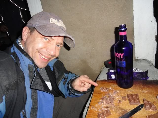
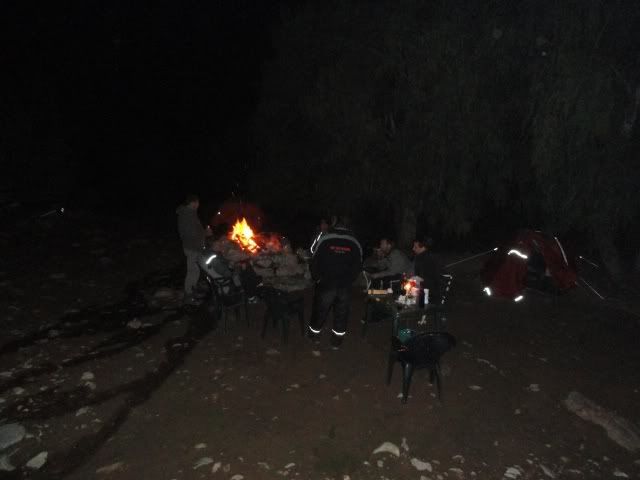
Fire's were lit, drinks were poured and the "Bosberaad" began...
(Photo by Eugene)

.