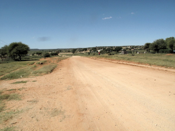
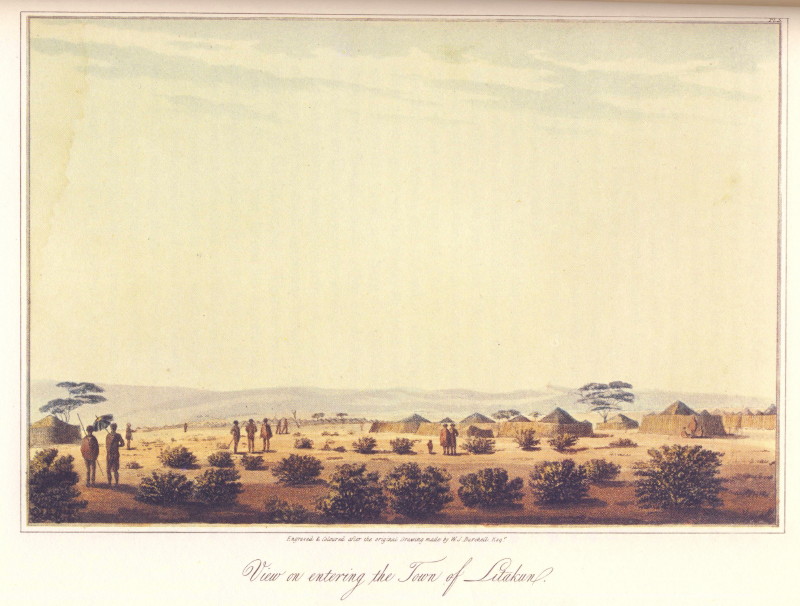
I was really looking for the site of the pictures of Litakun by Samuel Daniell. When I had finished with the picture quest my plan was to head to the N14 (Johannesburg - Upington road) where there were some self catering chalets according to T4A. T4A was wrong as the place had closed years ago; my experience on this trip was that T4A information is hopelessly out of date. Time and again during this 16 day trip it was wrong as in this example. I had the latest T4A installed the day before I left. For the Groot Karoo it only shows the biggest roads – even less than Garmin Streetmaps. The road to the N14 was pretty corrugated & my camera was taking a beating as I had become casual about the foam packing (unrelated story behind that) before this trip so I decided to carry on to Vryburg and stay there. Then I could rejoin my intended route up to Heuningvlei further on where the road should be better (roads tend to be most corrugated where they are most used – around the bigger towns).
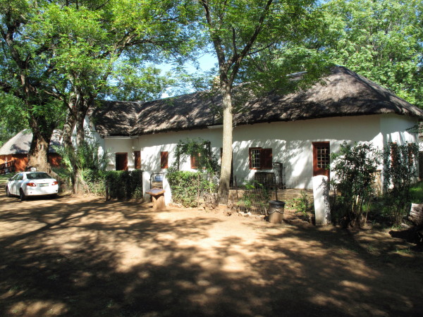
The husband of the owner of the very nice Cosy Corner self catering place was Johan. He is an engineer working for the North West roads department. I did not ask what his position is but it is clearly quite senior. I am a Capie who was travelling in Black Africa (part of the old Bophuthatswana); something I have precious little knowledge about. I had decided before leaving Cape Town that in Litakun I would see whether I felt safe to do the next stage around through Heuningvlei & down to Hotazel by myself. In fact I felt completely unchallenged as I rode around Dithakong so that I was quite prepared to stealth camp alongside the road as there is masses of unoccupied territory. However there is no petrol available in Dithakong that I saw (quite a big filling station that ceased trading some time ago-T4A wrong again) so the trip out to the N14 was required in any case. When Johan knew what my intentions were he came and gave me lots of advice. He is going to lead a group of quads all along the Moshaweng river (the one I had been photographing) from Dithakong to Severn. Anyway he assured me that the road was fine, there is no petrol before Hotazel (Black Rock possibly?) and nowhere to stay or get much to eat or drink and that the people are not aggressive. I had been a bit apprehensive about this unknown & unfamiliar territory but now all of that had been allayed.
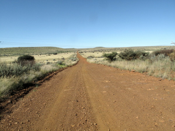
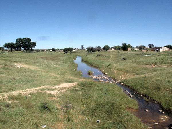
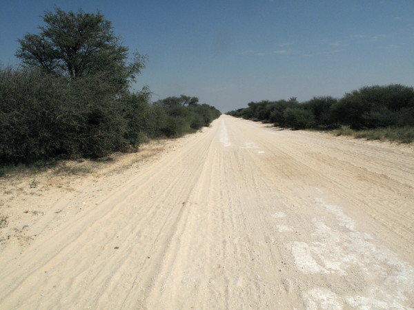
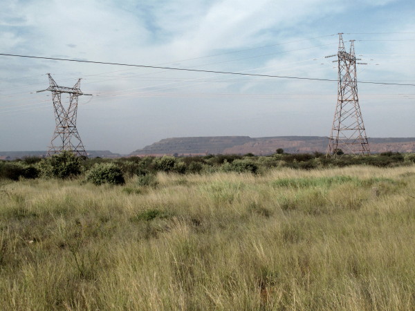
I call this leg the Giraffe Trip because on Burchell’s map he labels one of his stops as Giraffe Station and has a note ‘First Camelopardalis’ as the extreme northern point.. Burchell’s volume 2 ends as he is about to set off. His map shows where he went after leaving Ditakong and there are the McKay maps which show it on a 1940s road map. From Vryburg I got onto the D311 gravel road then took the D3492 across to Heuningvlei. Then some un-numbered road (in the 3 Mapsource maps but T4A does not show it at all) down to Hotazel.
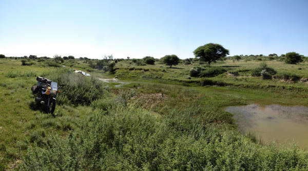
The good gravel road on the northwards leg. Johan calls it the Bona Bona road which means Bones.
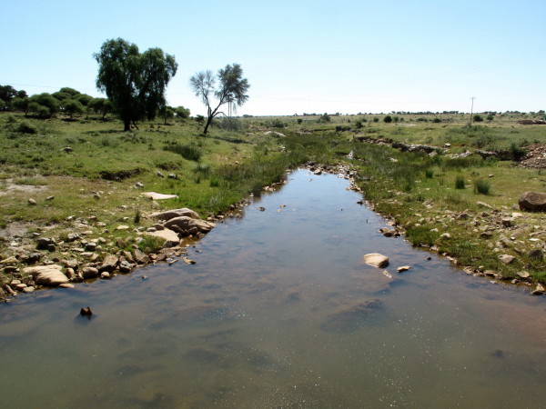
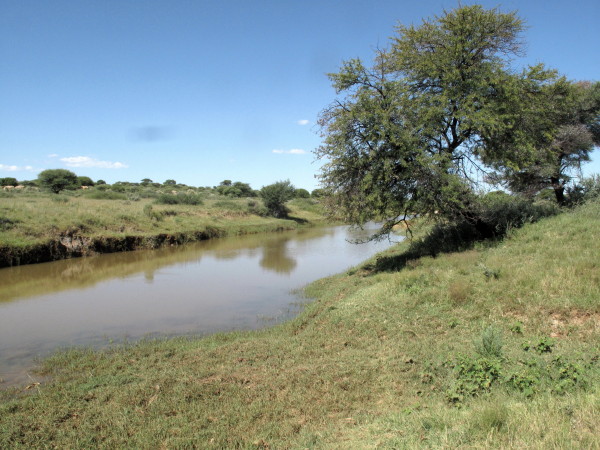
At the end of this road is where Burchell marked the giraffes (camelopardalis).
We have now gone past the end of volume 2. Volume 3 was intended but never came out. 750 of volume 1 were published; it came out in 1822 (that was 7 years after his return to Britain) (1:i11). The second volume came out in 1824 but as the publisher had been disappointed by the sales of the first volume consequently only 500 of the second volume were printed (1:i14). In the introduction to the 1967 facsimile reprint there is a detailed (& very informative) introduction. They say that it is obvious but not certain that a third volume was intended even though they quote how Burchell ends volume 2 with (2:510):
The narrative of these travels having now proceeded as far as it was intended, the two following chapters, containing observations extracted principally from the subsequent, part of the journal, are added for the purpose of completing the work as an account on the inhabitants...
They seem to view the word journal as used above to refer to the diary Burchell kept. So the word work would then refer to the published books. I don’t agree with them because Burchell writes this in a footnote volume 2 page 326:
I may be allowed here to make the remark, although it belongs properly to a part of the journal not comprised in the present volume .....
Also there this footnote in volume 2 page 146:
A further account of Graaffreynet and its natural history, belongs more properly to a later period of my journal; for which it is therefore reserved.
They may wish to refrain from being certain but I am sure that a third volume was intended. Burchell took so long in preparing his work for publication that he missed his market. As pointed out in the introduction, it would have been ten years after the event when the third volume would have appeared and other later travellers had already issued their books by then. Burchell took too long in preparing his books so missed the market for the third volume. His note books (except one) have been lost.
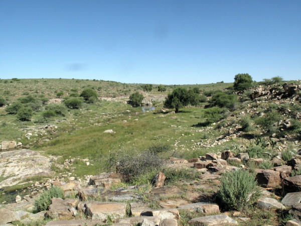
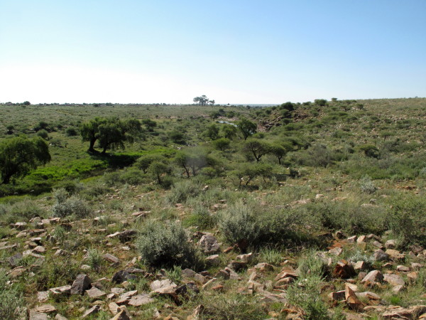
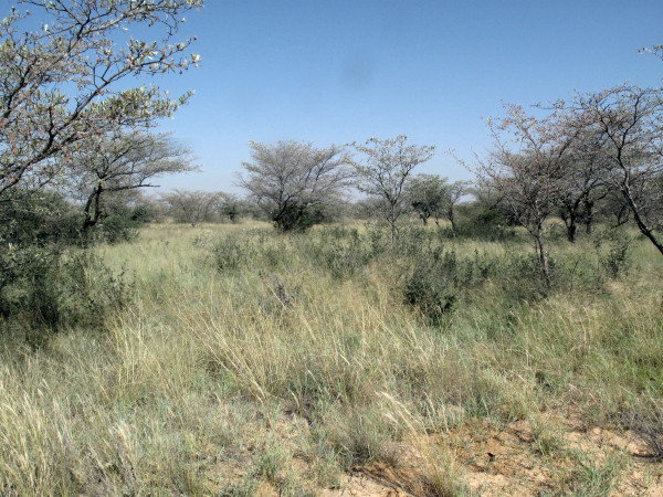
Now the bush where the giraffe was hunted looks like this – pretty much the same as when Burchell was there?
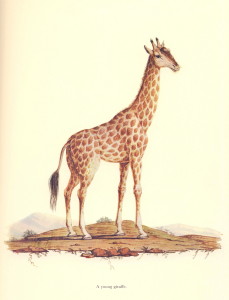
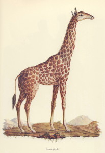
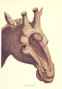
There are thus no more Burchell pictures to try to replicate. Here are some by Francoise Le Vaillant who I introduced in the Hippo Hunt post. He did not come up towards Heuningvlei but he did shoot a giraffe in the Richtersveld area; the stuffed skin was one of the first to be seen in Europe. Giraffe were still very mysterious to Europeans in Burchell’s time. Here are the Le Vaillant pictures.
A young giraffe.
A female.
A male.
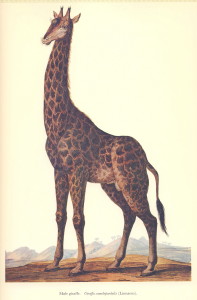
Head of a giraffe. The first three show his ability to do accurate pictures which are also artistic. This one, I think, shows his artistic side particularly well. (Le Vaillant did not do these drawings; the practice was that he made sketches and professional artists made the pictures for publication.)
Skeleton of a giraffe. This one shows his fantasy side. It is anatomically wrong in so many details. There was a public demand for something like this so he satisfied it (he had brought just the skin of a giraffe back to Europe). This is typical of the work that earned him such a poor reputation. In fact Le Vaillant had his artist copy a picture from an earlier book (see page 116 of 1973 Library of Parliament Francois le Vaillant vol 2)

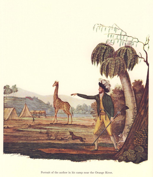
This is a particularly well known picture of his. It was at the end of his first journey book as a teaser for the second book. Imaginary trees and Le Vaillant dressed in the highest fashion with two pistols in his belt, the hunting gun in hand and ostrich feathers in his hat. To me it shows what a character he was. It is fun. The giraffe was never in the camp and it is disputed that he actually shot it.
You can judge from the number of pictures Le Vaillant produced how fascinated the Europeans were by giraffes and why Burchell so much wanted to see them. He presented the British Museum with 43 of the best of the 120 skins he brought back from this trip. A German museum had offered to buy the skins but Burchell felt the patriotic thing was to donate the finest and rarest to the British Museum (1:383). It included two giraffe skins. Four years later only seven were stuffed and only five put on display. Burchell was very annoyed by this. A year later he went to the museum to look at the horns of a Hartbees he had given them and was mortified to find that an old packing case they had stuffed many of the skins into was now swarming with live moths and maggots and the skins rendered useless (2:337).
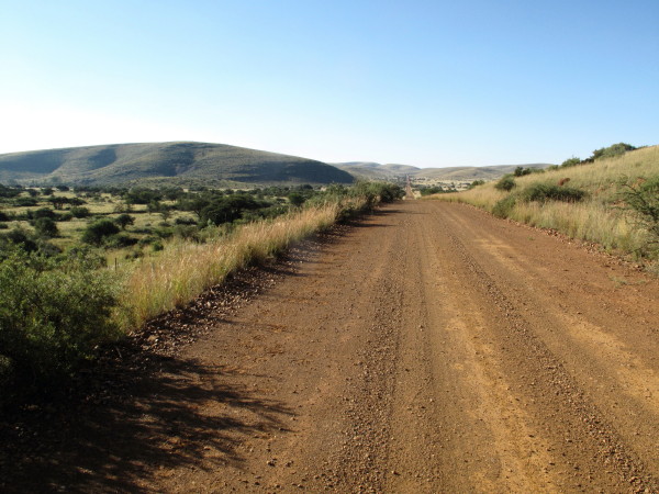
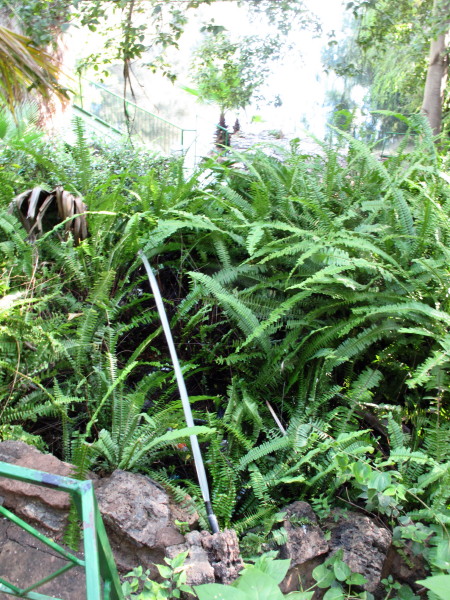
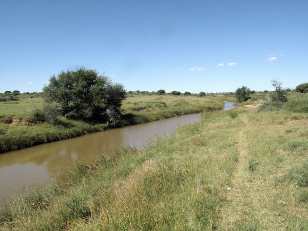
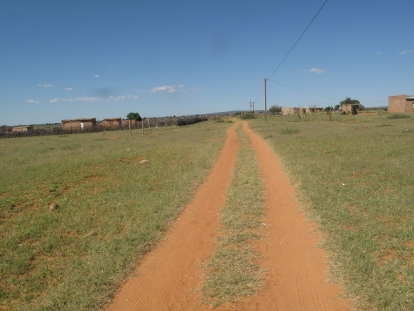
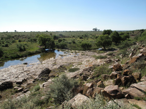
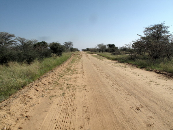
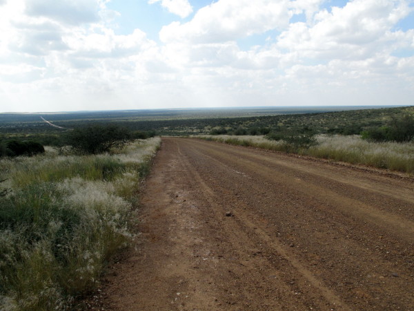
The road running westwards to Heuningvlei. As Johan had said, the roads were good. You could stealth camp anywhere along these roads.
I have written an ode in praise of windpumps. The Cape is reputed to be windy but I have never seen a windpump blasted like this in the Cape yet saw a few north of the Gariep river.

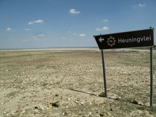
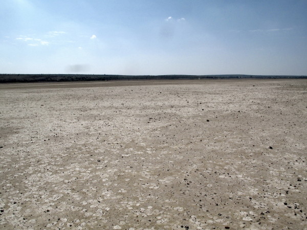
Heuningvlei
Locals riding on it. It was only just dry enough to ride on (this is a usual cart track in the dry season). Burchell took his wagon on there and camped.
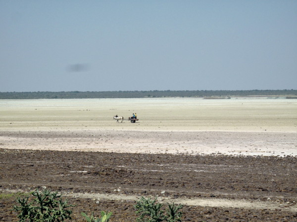
So I went out there too.
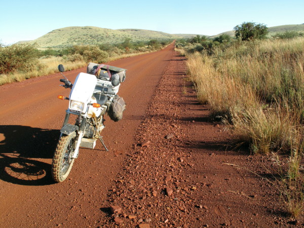
Then you turn south for the long run down to Hotazel.
I have wanted to see Hotazel since noticing it on a map in primary school. When my grandmother explained the name I thought it was a naughty thing to have done & I was very surprised it had been allowed – it tickled my fancy. Here is the story behind the name as recounted by T.V.Bulpin Discovering Southern Africa page 303:
In 1915-17 a full-scale land survey of the area was undertaken by Dirk Roos and Hendrik Wessels. They were responsible for surveying and naming many of the farms: Wessels (named by Roos after his colleague) Mamathwane (bats), and the celebrated Hotazel. This farm on the Gamagara River was surveyed by Roos assisted by J W Waldeck. The day was blazing hot and in the camp that evening Roos practically collapsed. 'What a day, what a place! Hot as hell.' he exclaimed. 'That 's it', said Waldeck 'the perfect name!' So they called the farm Hotazel without realising that the ground beneath them was almost solid manganese.
Another place I had wanted to see from those days is Verneukpan. Now my little TW has taken me to both.

The whole area around here is riddled with manganese and iron; the British had sent a geologist here as early as 1872. Manganese mining started in 1925 and a whole succession of companies mined for it in many different places with varying success. In the mid 1950s a geological survey was done by Leslie Boardman (he had been coming to the area since 1937). Here is what Bulpin writes:
Using a magnetometer, Boardman conducted a careful geophysical search of the area near Black Rock. The instrument detected a great deposit of manganese below the sands on the farm Wessels. More deposits were found on the farms Smartt, Rissik, Goold and Alamathwane. What the instrument had detected was the greatest manganese deposit in the world. S A Manganese bought Smartt. Boardman continued prospecting. Farmers were always com-ing to him with reports of manganese. A diviner from Lichtenberg, a Mr van Rensburg, was employed by the farms to find water and he reported seeing black rocks beneath the surface on farms such as Langdon and Hotazel. Almost unwillingly Boardman was induced to visit these farms. He was staggered at what he found on Hotazel. The magnetometer overshot its own scale! Only an ore body of unimaginable size could have had such an effect.
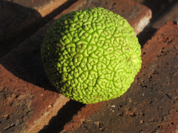
Hotazel is a company town (BHP Billiton) where I did not wish to stay so I went on to Kathu (though I still think of it as Sishen) where there is a municipal camping site. It is called Khai-Appel. In the Cape we have Kei-Apples (in fact I planted one on the hillside behind my house in memory of my mother). Never heard of a Khai Appel & it is not in my Trees of Southern Africa but an interesting looking fruit, but not edible I was told.
The camping site was municipal; as was the one in Kuruman. I now know to avoid them. They cater for the wishes of the majority which seems to be stolen shower heads, broken and dirty lavatories, basins with missing taps, scruffy walls and no hot water. They may be cheap but I am part of the minority that wishes for something better. I camped twice after this but both were commercial and they were excellent.
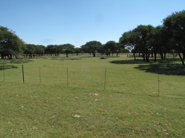
Right in Kathu village is the best thorn tree veld that I saw anywhere.

I suspect this is how it looked when Burchell was hunting giraffe. Those are kameeldorings which used to have the scientific name Acacia giraffe but it had to be changed as it was found to have originally been called Acacia erioloba and the original name takes precedence. In English the Afrikaans name has been mistranslated so it is named Camel Thorn instead of the correct Giraffe Thorn, so named because it is much liked by them. From K.C. Palgrave Trees of Southern Africa:
The pods form an excellent fodder for stock: farmers say that animals pick them up as fast as they fall to the ground and that there is a noticeable increase in the milk-yield of cows that have eaten them.
I went to have a look at Sishen. This is the overburden dump though it could be mistaken as for natural hill.
I went to see the big retired Wabco dump truck.
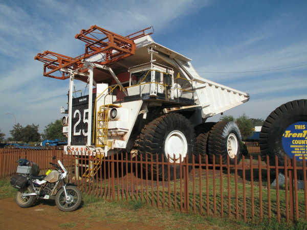
The steel structure painted brown at the front of the Wabco dumper is the pantograph for drawing electricity from overhead cables just like electric trains. The diesel engine drives a generator which powers the wheel motors while the truck is off the overhead cable but then it connects up to the overhead electric cables for the long climb out of the mine to the tip as electricity is cheaper than diesel for these machines.
One of my careers was as foreman in the tyre retreading industry. My area was re-lugging of earthmover tyres. These machines have 36x51 tyres. The largest I ever dealt with were 21x35 & 37.5x33. Our autoclave and buffing machine could handle tyres up to 3,3m diameter so these tyres would have just fitted in. To metricate those tyre sizes as they are all in inches whereas bike tyres are mixed mm section x inch rim, in bike convention those sizes are 915x51 in the picture & 533x35 & 953x33 that I worked with.
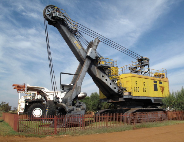
Also this old rope shovel.
I went down to Postmasburg for a late breakfast. Burchell had now completed his Giraffe loop and was back on the track from Klaarwater to Litakun. Just outside the town is a hill with an ancient haematite quarry. Silver/grey flaky iron oxide crystals known as specularite was quarried, ground up, mixed with fat and worked into the hair. Burchell gives this picture of the hill (he passed this way on his way up to Litakun).
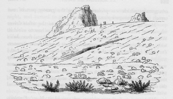
I found the hill no problem.
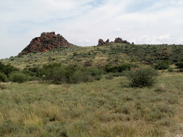
Hill is called Blinkklip. I walked up there and looked all over for the quarry but did not find it. The joke is on me as now that I write this I read (2:255):
The entrance to the mine is in front, at the foot of the rock; but is not visible in this point of view.
He says the mine is 6m high by 9m deep – possibly I did not recognise it as being a mine. Antonia (wife) was here some years ago on an archaeological excursion and she has been to the quarry. Bulpin says there are several similar places Logagena and Gatkoppies which are ‘riddled with excavations’ so possibly Antonia went to one of those.
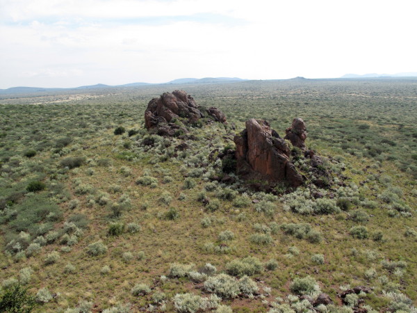
Just to show you that I had a thorough look here is the picture from the top of the higher peak of the other outcrop and the surrounding countryside that Burchell had seen.
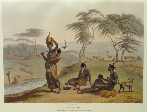
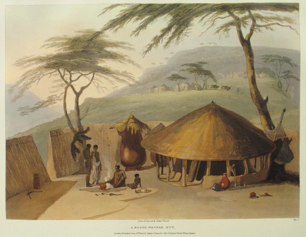
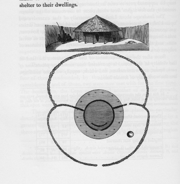
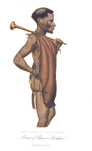
Here is a picture of a Bachapin at Litakun. The silver in his hair is the haematite which they called sibelo. It was only found in this small area so they came here to dig it up and used it in trade with the neighbouring clans. It was used over quite a wide area.
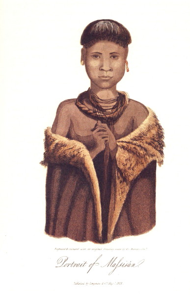
Another portrait from Litakun. A girl about 12 years old. Very pretty and also has sibilo in her hair (note the hair style).
Then through Griekwastad where I had a beer and down towards Douglas again. Burchell’s giraffe trip is now over. He then went back down to Graaff-Reinet (he previously went there by horse to recruit staff) and on to what is now Grahamstown.


.